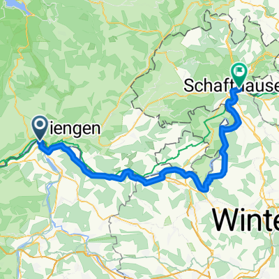
Rhein - Wannenbwerg - Wutach
A cycling route starting in Koblenz, Canton of Aargau, Switzerland.
Overview
About this route
Von allem ein bischen: eben, Asphalt, bergauf-bergab, schöne Waldwege. Geht gemütlich los, steigert sich auf der Fahrt zum Wannenberg. Von dort bis zur Küssaburg sehr schöne Ausblicke nach D und CH. Von der Küssaberg gehts dann wieder bergab.
- -:--
- Duration
- 42.9 km
- Distance
- 606 m
- Ascent
- 603 m
- Descent
- ---
- Avg. speed
- ---
- Avg. speed
Continue with Bikemap
Use, edit, or download this cycling route
You would like to ride Rhein - Wannenbwerg - Wutach or customize it for your own trip? Here is what you can do with this Bikemap route:
Free features
- Save this route as favorite or in collections
- Copy & plan your own version of this route
- Sync your route with Garmin or Wahoo
Premium features
Free trial for 3 days, or one-time payment. More about Bikemap Premium.
- Navigate this route on iOS & Android
- Export a GPX / KML file of this route
- Create your custom printout (try it for free)
- Download this route for offline navigation
Discover more Premium features.
Get Bikemap PremiumFrom our community
Other popular routes starting in Koblenz
- Hausberg Maxi
- Distance
- 48.2 km
- Ascent
- 1,044 m
- Descent
- 1,041 m
- Location
- Koblenz, Canton of Aargau, Switzerland
- virée en foret noire/danube Constance etape 1 walshut lac de Titisee
- Distance
- 51 km
- Ascent
- 801 m
- Descent
- 263 m
- Location
- Koblenz, Canton of Aargau, Switzerland
- 2_Waldshut bis Mulhouse
- Distance
- 108.2 km
- Ascent
- 368 m
- Descent
- 440 m
- Location
- Koblenz, Canton of Aargau, Switzerland
- Route de l'Aar
- Distance
- 301.3 km
- Ascent
- 585 m
- Descent
- 280 m
- Location
- Koblenz, Canton of Aargau, Switzerland
- Koblenz nach Trasadingen
- Distance
- 22.1 km
- Ascent
- 103 m
- Descent
- 12 m
- Location
- Koblenz, Canton of Aargau, Switzerland
- Waltshut-Basel-Freiburg-Waltshut
- Distance
- 257.8 km
- Ascent
- 1,045 m
- Descent
- 1,047 m
- Location
- Koblenz, Canton of Aargau, Switzerland
- Rhein 2019 2. Etappe
- Distance
- 59.9 km
- Ascent
- 199 m
- Descent
- 262 m
- Location
- Koblenz, Canton of Aargau, Switzerland
- 1. Koblenz - Bad Säckingen (27 km)
- Distance
- 26.7 km
- Ascent
- 155 m
- Descent
- 149 m
- Location
- Koblenz, Canton of Aargau, Switzerland
Open it in the app