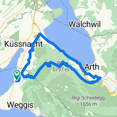
Kurze Radrunde von Friedersreuth nach Küssnacht (SZ)
- 78.8 km
- 1,318 m
- 2,027 m
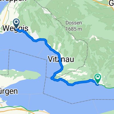
- Weggis, Canton of Lucerne, Switzerland
A cycling route starting in Weggis, Canton of Lucerne, Switzerland.
Overview
created this 6 years ago
Route quality
Quiet road
14.9 km
59 %
Track
2.3 km
9 %
Paved
14.9 km
(59 %)
Unpaved
2.3 km
(9 %)
Asphalt
14.9 km
59 %
Unpaved (undefined)
0.8 km
3 %
Continue with Bikemap
You would like to ride seebodenalp or customize it for your own trip? Here is what you can do with this Bikemap route:
Free trial for 3 days, or one-time payment. More about Bikemap Premium.
Discover more Premium features.
Get Bikemap PremiumFrom our community
Open it in the app