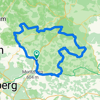
Quer Feld ein nach Spies
- 22.8 km
- 334 m
- 327 m
- Schnaittach, Bavaria, Germany
unfortunately the field paths are not so easy to see here, following the road it's also almost 10 km less and certainly some elevation gain less, but anyone who can read hiking signs will find their way.
Have fun
Road
9.1 km40 %Quiet road
7.5 km33 %Paved
9.4 km(41 %)Unpaved
0.7 km(3 %)Asphalt
9.4 km41 %Unpaved (undefined)
0.7 km3 %Undefined
12.8 km56 %Free trial for 3 days, or one-time payment. More about Bikemap Premium.
Discover more Premium features.
Get Bikemap PremiumOpen it in the app