Schmädelstraße 26, Wolnzach nach Hadriwastraße 5, Haibach
- 132 km
- 888 m
- 645 m
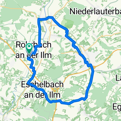
- Rohrbach, Bavaria, Germany
A cycling route starting in Rohrbach, Bavaria, Germany.
Overview
created this 5 years ago
Route quality
Quiet road
45 km
(45 %)
Road
40 km
(40 %)
Paved
54 km
(54 %)
Asphalt
52 km
(52 %)
Paved (undefined)
2 km
(2 %)
Undefined
46 km
(46 %)
Continue with Bikemap
You would like to ride Am Wasserwerk 5, Rohrbach an der Ilm to Am Wasserwerk 3, Rohrbach an der Ilm or customize it for your own trip? Here is what you can do with this Bikemap route:
Free trial for 3 days, or one-time payment. More about Bikemap Premium.
Discover more Premium features.
Get Bikemap PremiumFrom our community
Open it in the app