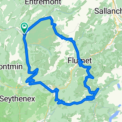
Y - COL CROIX FRY

A cycling route starting in Th么nes, Auvergne-Rh么ne-Alpes, France.
OverviewAbout this route

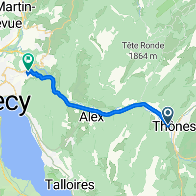
ascension du col de CROIX-FRY depuis THONES et descente jusqu'脿 la jonction de la route du col des ARAVIS

Translated, show original (French)
-:--
Duration
18.1 km
Distance
860 m
Ascent
258 m
Descent
---
Avg. speed
---
Max. altitude
MULTISPORTS74created this 6 years ago
Route qualityWaytypes & surfaces along the route
Waytypes
  • Quiet road

    1.1 km6 %
  • Access road

    0.4 km2 %
  • Pedestrian area

    0.2 km1 %
Surfaces

Paved

17 km(94 %)
  • Asphalt

    17 km94 %
  • Undefined

    1.1 km6 %
Continue with BikemapUse, edit, or download this cycling route
You would like to ride Y - COL CROIX FRY or customize it for your own trip? Here is what you can do with this Bikemap route:
Free features
Premium features

Free trial for 3 days, or one-time payment. More about Bikemap Premium.

  • Navigate this route on iOS & Android
  • Export a GPX / KML file of this route
  • Create your custom printout (try it for free)
  • Download this route for offline navigation

Discover more Premium features.

Get Bikemap Premium
From our communityOther popular routes starting in Th么nes

Open it in the app