Sagamihara 3-Chōme, Sagamihara to Morino 2-Chōme, Machida
- 9.6 km
- 22 m
- 72 m
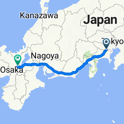
- Machida, Tokyo, Japan
A cycling route starting in Machida, Tokyo, Japan.
Overview
created this 5 years ago
Continue with Bikemap
You would like to ride 16-28, Edaminami 5-Chōme, Tsuzuki-Ku, Yokohama-Shi to 16-28, Edaminami 5-Chōme, Tsuzuki-Ku, Yokohama-Shi or customize it for your own trip? Here is what you can do with this Bikemap route:
Free trial for 3 days, or one-time payment. More about Bikemap Premium.
Discover more Premium features.
Get Bikemap PremiumFrom our community
Open it in the app