HW40k
- 40.6 km
- 350 m
- 350 m
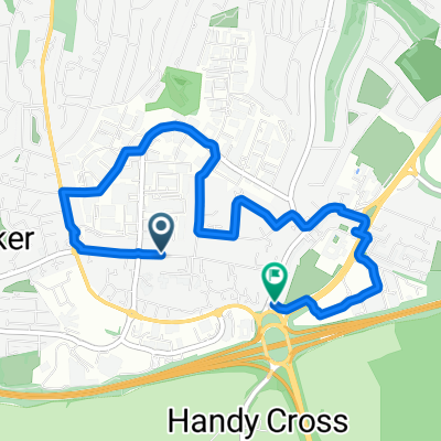
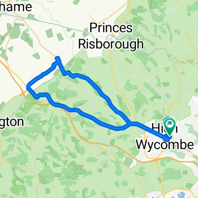
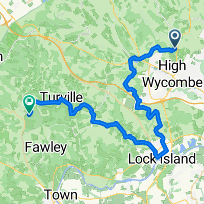
- High Wycombe, England, United Kingdom
A cycling route starting in High Wycombe, England, United Kingdom.
Overview
created this 5 years ago
Route quality
Road
23.7 km
(73 %)
Quiet road
5.5 km
(17 %)
Paved
14.9 km
(46 %)
Unpaved
0.3 km
(1 %)
Asphalt
14.6 km
(45 %)
Paved (undefined)
0.3 km
(1 %)
Continue with Bikemap
You would like to ride Cadmore end to marlow or customize it for your own trip? Here is what you can do with this Bikemap route:
Free trial for 3 days, or one-time payment. More about Bikemap Premium.
Discover more Premium features.
Get Bikemap PremiumFrom our community
Open it in the app