3. Etappe: L'Alpe d'Huez bis Chichilianne Chateau de Passieres
- 95.6 km
- 2,957 m
- 3,795 m
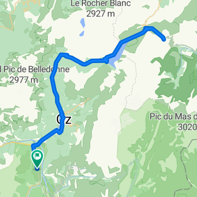
- Huez, Auvergne-Rhône-Alpes, France
A cycling route starting in Huez, Auvergne-Rhône-Alpes, France.
Overview
created this 15 years ago
Route quality
Quiet road
9.1 km
5 %
Path
9.1 km
5 %
Paved
133.5 km
(73 %)
Asphalt
133.5 km
73 %
Undefined
49.4 km
27 %
Route highlights
Col du Glandon
Col du Télégraphe
Col du Galibier
Col du Lautaret
10 Tunnel Hell starts around here
Alpe d'Huez
Continue with Bikemap
You would like to ride 2010 La Marmotte or customize it for your own trip? Here is what you can do with this Bikemap route:
Free trial for 3 days, or one-time payment. More about Bikemap Premium.
Discover more Premium features.
Get Bikemap PremiumFrom our community
Open it in the app