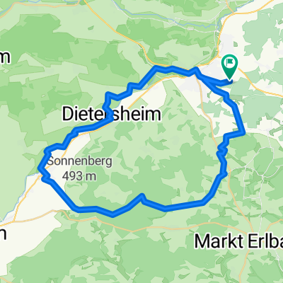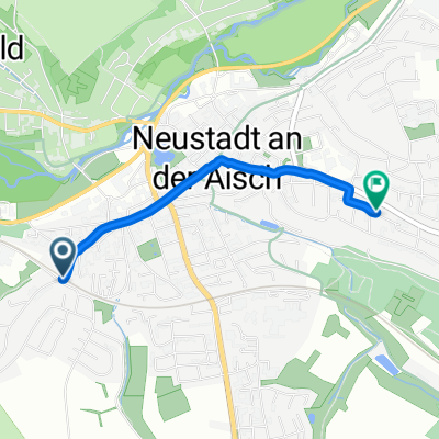
Neustadt an der Aisch Cycling
- 59.4 km
- 144 m
- 234 m
- Neustadt an der Aisch, Bavaria, Germany
A cycling route starting in Neustadt an der Aisch, Bavaria, Germany.
Overview
300 ponds
created this 5 years ago
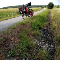
Route quality
Quiet road
45.5 km
(52 %)
Road
17.5 km
(20 %)
Paved
68.2 km
(78 %)
Asphalt
68.2 km
(78 %)
Undefined
19.2 km
(22 %)
Continue with Bikemap
You would like to ride 300 Weiher Tour or customize it for your own trip? Here is what you can do with this Bikemap route:
Free trial for 3 days, or one-time payment. More about Bikemap Premium.
Discover more Premium features.
Get Bikemap PremiumFrom our community
Open it in the app