

London to Windsor Loop
A cycling route starting in London, England, United Kingdom.
Overview
About this route
A London to Windsor ride is perfect for winter training and many local clubs and cyclists do some variation on this loop. It's long, flat and doesn't take you down tiny lanes, so you can accumulate base miles without fear of overexertion or icy conditions. Take the road through Richmond Park, dodging stags as you go, and then through the tranquil Surrey countryside to the majestic Windsor Great Park, behind the royal residence of Windsor Castle. The return leg is shorter and faster, so you'll be home in no time. Don't forget to stop at Cinnamon Café in Windsor for one of their huge cinnamon buns – there's 10% off for cyclists.
- -:--
- Duration
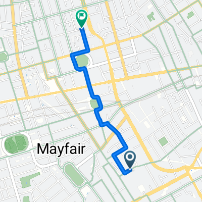
- 122.5 km
- Distance
- 512 m
- Ascent
- 514 m
- Descent
- ---
- Avg. speed
- ---
- Max. altitude

Route quality
Waytypes & surfaces along the route
Waytypes
Busy road
59 km
(48 %)
Road
17.7 km
(14 %)
Surfaces
Paved
92.3 km
(75 %)
Unpaved
1.9 km
(2 %)
Asphalt
88.7 km
(72 %)
Paving stones
2.3 km
(2 %)
Continue with Bikemap
Use, edit, or download this cycling route
You would like to ride London to Windsor Loop or customize it for your own trip? Here is what you can do with this Bikemap route:
Free features
- Save this route as favorite or in collections
- Copy & plan your own version of this route
- Split it into stages to create a multi-day tour
- Sync your route with Garmin or Wahoo
Premium features
Free trial for 3 days, or one-time payment. More about Bikemap Premium.
- Navigate this route on iOS & Android
- Export a GPX / KML file of this route
- Create your custom printout (try it for free)
- Download this route for offline navigation
Discover more Premium features.
Get Bikemap PremiumFrom our community
Other popular routes starting in London
 Quietway 1, London to Monument Street, London
- Distance
- 3.2 km
- Ascent
- 30 m
- Descent
- 34 m
- Location
- London, England, United Kingdom
 Mocked GeoReverse Location to Mocked GeoReverse Location
- Distance
- 209.6 km
- Ascent
- 1,346 m
- Descent
- 1,355 m
- Location
- London, England, United Kingdom
 Burlington Gardens, London to Euston Road, London
- Distance
- 1.4 km
- Ascent
- 7 m
- Descent
- 4 m
- Location
- London, England, United Kingdom
 27 Neal Street, London to Bucknall Street, London
- Distance
- 0.4 km
- Ascent
- 3 m
- Descent
- 4 m
- Location
- London, England, United Kingdom
 228 Piccadilly, London to 5–9 Great Windmill St, London
- Distance
- 0.2 km
- Ascent
- 0 m
- Descent
- 4 m
- Location
- London, England, United Kingdom
 Soho London
- Distance
- 0.5 km
- Ascent
- 0 m
- Descent
- 4 m
- Location
- London, England, United Kingdom
 228 Piccadilly, London to 14-28 Oxford St, London
- Distance
- 1 km
- Ascent
- 0 m
- Descent
- 4 m
- Location
- London, England, United Kingdom
 Burlington Arcade, London to Bridgewick Road, Southminster
- Distance
- 109.5 km
- Ascent
- 452 m
- Descent
- 483 m
- Location
- London, England, United Kingdom
Open it in the app