
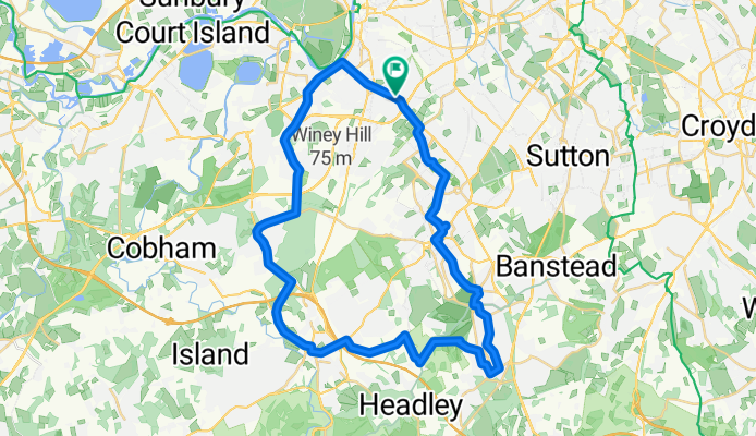
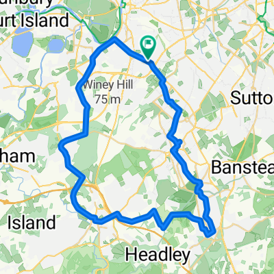
Princes Avenue 6 to Ewell Road 400
A cycling route starting in Surbiton, England, United Kingdom.
Overview
About this route
- 2 h 26 min
- Duration
- 41.3 km
- Distance
- 326 m
- Ascent
- 317 m
- Descent
- 17 km/h
- Avg. speed
- ---
- Max. altitude

Route quality
Waytypes & surfaces along the route
Waytypes
Road
7.8 km
(19 %)
Quiet road
7 km
(17 %)
Surfaces
Paved
22.3 km
(54 %)
Unpaved
5 km
(12 %)
Asphalt
21.5 km
(52 %)
Ground
3.3 km
(8 %)
Continue with Bikemap
Use, edit, or download this cycling route
You would like to ride Princes Avenue 6 to Ewell Road 400 or customize it for your own trip? Here is what you can do with this Bikemap route:
Free features
- Save this route as favorite or in collections
- Copy & plan your own version of this route
- Sync your route with Garmin or Wahoo
Premium features
Free trial for 3 days, or one-time payment. More about Bikemap Premium.
- Navigate this route on iOS & Android
- Export a GPX / KML file of this route
- Create your custom printout (try it for free)
- Download this route for offline navigation
Discover more Premium features.
Get Bikemap PremiumFrom our community
Other popular routes starting in Surbiton
 Anglers Reach, Surbiton to Grove Road, Surbiton
- Distance
- 32.5 km
- Ascent
- 117 m
- Descent
- 119 m
- Location
- Surbiton, England, United Kingdom
 Princes Avenue 6 to Ewell Road 400
- Distance
- 41.3 km
- Ascent
- 326 m
- Descent
- 317 m
- Location
- Surbiton, England, United Kingdom
 20 Surbiton Hill Park, Surbiton to Surbiton High School, 13 Surbiton Crescent, Kingston Upon Thames
- Distance
- 3.4 km
- Ascent
- 14 m
- Descent
- 35 m
- Location
- Surbiton, England, United Kingdom
 Surbiton Hill Park, Surbiton to High Street, Epsom
- Distance
- 8.8 km
- Ascent
- 36 m
- Descent
- 34 m
- Location
- Surbiton, England, United Kingdom

Edge1000®
Surbiton Cycling- Distance
- 31.4 km
- Ascent
- 28 m
- Descent
- 24 m
- Location
- Surbiton, England, United Kingdom
 Surbiton to Mayfield Farm - BALANCED
- Distance
- 16.2 km
- Ascent
- 150 m
- Descent
- 48 m
- Location
- Surbiton, England, United Kingdom
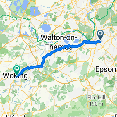 Route to Woking
- Distance
- 26.8 km
- Ascent
- 78 m
- Descent
- 68 m
- Location
- Surbiton, England, United Kingdom
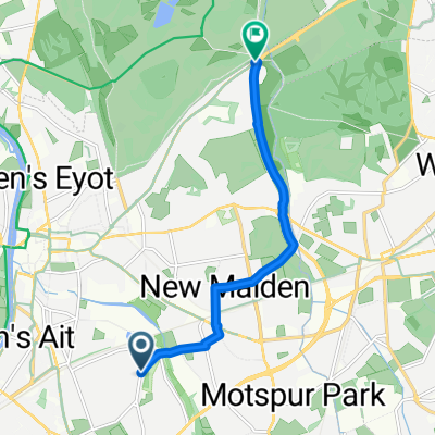 LCN 31: Surbiton to Kingston
- Distance
- 6.4 km
- Ascent
- 9 m
- Descent
- 16 m
- Location
- Surbiton, England, United Kingdom
Open it in the app