around the island
- 141.6 km
- 639 m
- 637 m
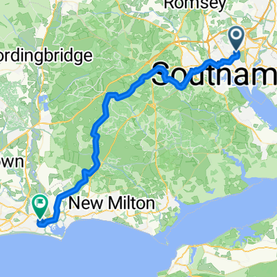
- Southampton, England, United Kingdom
A cycling route starting in Southampton, England, United Kingdom.
Overview
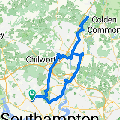
new route to avoid crossing the dual carriageway
created this 5 years ago
Route quality
Quiet road
17.9 km
27 %
Cycleway
17.2 km
26 %
Paved
53 km
(80 %)
Unpaved
4 km
(6 %)
Asphalt
53 km
80 %
Gravel
4 km
6 %
Undefined
9.3 km
14 %
Continue with Bikemap
You would like to ride Route 66 or customize it for your own trip? Here is what you can do with this Bikemap route:
Free trial for 3 days, or one-time payment. More about Bikemap Premium.
Discover more Premium features.
Get Bikemap PremiumFrom our community
Open it in the app