

Elberadweg
A cycling route starting in Pretzsch, Saxony-Anhalt, Germany.
Overview
About this route
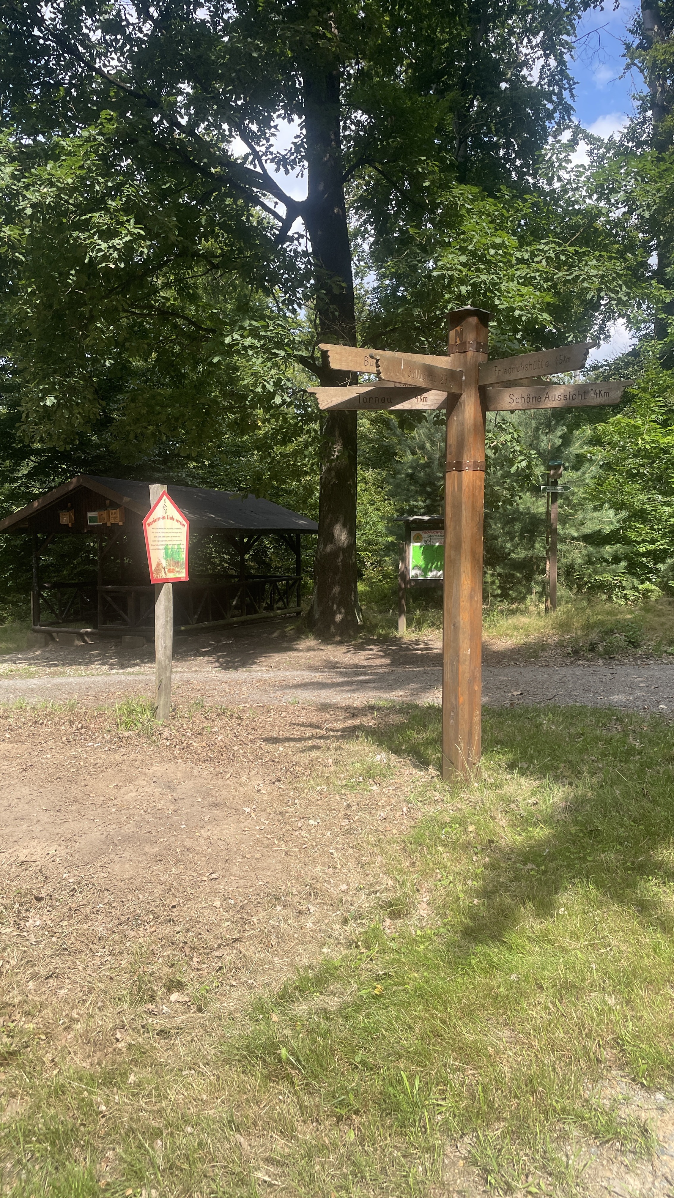
The Elbe Cycle Path is one of the most popular cycling routes in Germany, according to ADFC. You can start the Elbe Cycle Path in Prague or Bohemia, then it's about 1000 km to the mouth into the North Sea. In Saxony-Anhalt, the Elbe Cycle Path runs for about 343 km from Schahmüle east of Bad Schmiedeberg.
- -:--
- Duration
- 361.5 km
- Distance
- 284 m
- Ascent
- 351 m
- Descent
- ---
- Avg. speed
- ---
- Max. altitude

Route quality
Waytypes & surfaces along the route
Waytypes
Track
119.3 km
(33 %)
Path
75.9 km
(21 %)
Surfaces
Paved
263.9 km
(73 %)
Unpaved
10.8 km
(3 %)
Asphalt
216.9 km
(60 %)
Concrete
36.1 km
(10 %)
Continue with Bikemap
Use, edit, or download this cycling route
You would like to ride Elberadweg or customize it for your own trip? Here is what you can do with this Bikemap route:
Free features
- Save this route as favorite or in collections
- Copy & plan your own version of this route
- Split it into stages to create a multi-day tour
- Sync your route with Garmin or Wahoo
Premium features
Free trial for 3 days, or one-time payment. More about Bikemap Premium.
- Navigate this route on iOS & Android
- Export a GPX / KML file of this route
- Create your custom printout (try it for free)
- Download this route for offline navigation
Discover more Premium features.
Get Bikemap PremiumFrom our community
Other popular routes starting in Pretzsch
 Goetheallee Pretsch to Torgau
- Distance
- 37 km
- Ascent
- 113 m
- Descent
- 106 m
- Location
- Pretzsch, Saxony-Anhalt, Germany
 Lausiger-Stausee Dahlenberg-Bad Schmiedeberg
- Distance
- 22.6 km
- Ascent
- 180 m
- Descent
- 167 m
- Location
- Pretzsch, Saxony-Anhalt, Germany
 Lausiger Teich-Stausee Dahlenberg-Söllichau-Reinharz-Lausiger Teich
- Distance
- 37.7 km
- Ascent
- 277 m
- Descent
- 278 m
- Location
- Pretzsch, Saxony-Anhalt, Germany
 Elbe9, 1 Tag, Runde Pretzsch-Torgau-Pretzsch
- Distance
- 74.8 km
- Ascent
- 66 m
- Descent
- 67 m
- Location
- Pretzsch, Saxony-Anhalt, Germany
 Trebitz - Laußiger Teiche - Söllichau - Trebitz
- Distance
- 49.1 km
- Ascent
- 450 m
- Descent
- 451 m
- Location
- Pretzsch, Saxony-Anhalt, Germany
 Elbe-3.1 Pretzsch-Wittenberg
- Distance
- 34.3 km
- Ascent
- 28 m
- Descent
- 34 m
- Location
- Pretzsch, Saxony-Anhalt, Germany
 Heidetour von Trebitz aus
- Distance
- 44.6 km
- Ascent
- 504 m
- Descent
- 504 m
- Location
- Pretzsch, Saxony-Anhalt, Germany
 Elbe Radweg Etappe 6: Sachau - Dessau
- Distance
- 82.5 km
- Ascent
- 73 m
- Descent
- 89 m
- Location
- Pretzsch, Saxony-Anhalt, Germany
Open it in the app