hohenweiler - riedbergpass - hohenweiler CLONED FROM ROUTE 20246
A cycling route starting in Hohenweiler, Vorarlberg, Austria.
Overview
About this route
Über die höchste Passstraße Deutschlands.
- -:--
- Duration
- 124.7 km
- Distance
- 1,641 m
- Ascent
- 1,629 m
- Descent
- ---
- Avg. speed
- ---
- Avg. speed
Route quality
Waytypes & surfaces along the route
Waytypes
Busy road
57 km
(46 %)
Road
41.8 km
(33 %)
Surfaces
Paved
117.2 km
(94 %)
Unpaved
1.5 km
(1 %)
Asphalt
116 km
(93 %)
Paving stones
0.8 km
(<1 %)
Continue with Bikemap
Use, edit, or download this cycling route
You would like to ride hohenweiler - riedbergpass - hohenweiler CLONED FROM ROUTE 20246 or customize it for your own trip? Here is what you can do with this Bikemap route:
Free features
- Save this route as favorite or in collections
- Copy & plan your own version of this route
- Sync your route with Garmin or Wahoo
Premium features
Free trial for 3 days, or one-time payment. More about Bikemap Premium.
- Navigate this route on iOS & Android
- Export a GPX / KML file of this route
- Create your custom printout (try it for free)
- Download this route for offline navigation
Discover more Premium features.
Get Bikemap PremiumFrom our community
Other popular routes starting in Hohenweiler
- Wangen 50km
- Distance
- 51 km
- Ascent
- 424 m
- Descent
- 424 m
- Location
- Hohenweiler, Vorarlberg, Austria
- denis
- Distance
- 22.4 km
- Ascent
- 86 m
- Descent
- 145 m
- Location
- Hohenweiler, Vorarlberg, Austria
- Hohenweiler - Wangen - Lindenberg
- Distance
- 55 km
- Ascent
- 458 m
- Descent
- 512 m
- Location
- Hohenweiler, Vorarlberg, Austria
- Bodensee-Königssee_2016
- Distance
- 363.2 km
- Ascent
- 1,721 m
- Descent
- 1,604 m
- Location
- Hohenweiler, Vorarlberg, Austria
- Appenzell
- Distance
- 90.8 km
- Ascent
- 740 m
- Descent
- 818 m
- Location
- Hohenweiler, Vorarlberg, Austria
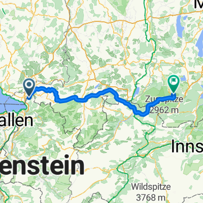
- Tour 2009 1. Etappe über Berg bis Scheidegg
- Distance
- 27.5 km
- Ascent
- 779 m
- Descent
- 462 m
- Location
- Hohenweiler, Vorarlberg, Austria
- hohenweiler - scheidegg - weiler - langen - fluh
- Distance
- 45 km
- Ascent
- 1,002 m
- Descent
- 1,064 m
- Location
- Hohenweiler, Vorarlberg, Austria
- Egghaldenstraße 3, Sigmarszell to L1 18, Lochau
- Distance
- 53.7 km
- Ascent
- 722 m
- Descent
- 777 m
- Location
- Hohenweiler, Vorarlberg, Austria
Open it in the app