

B2B00534 55407>55121 via Hiawatha Trl, Big Rivers Trl, Pilot Knob Rd
A cycling route starting in Minneapolis, Minnesota, United States.
Overview
About this route
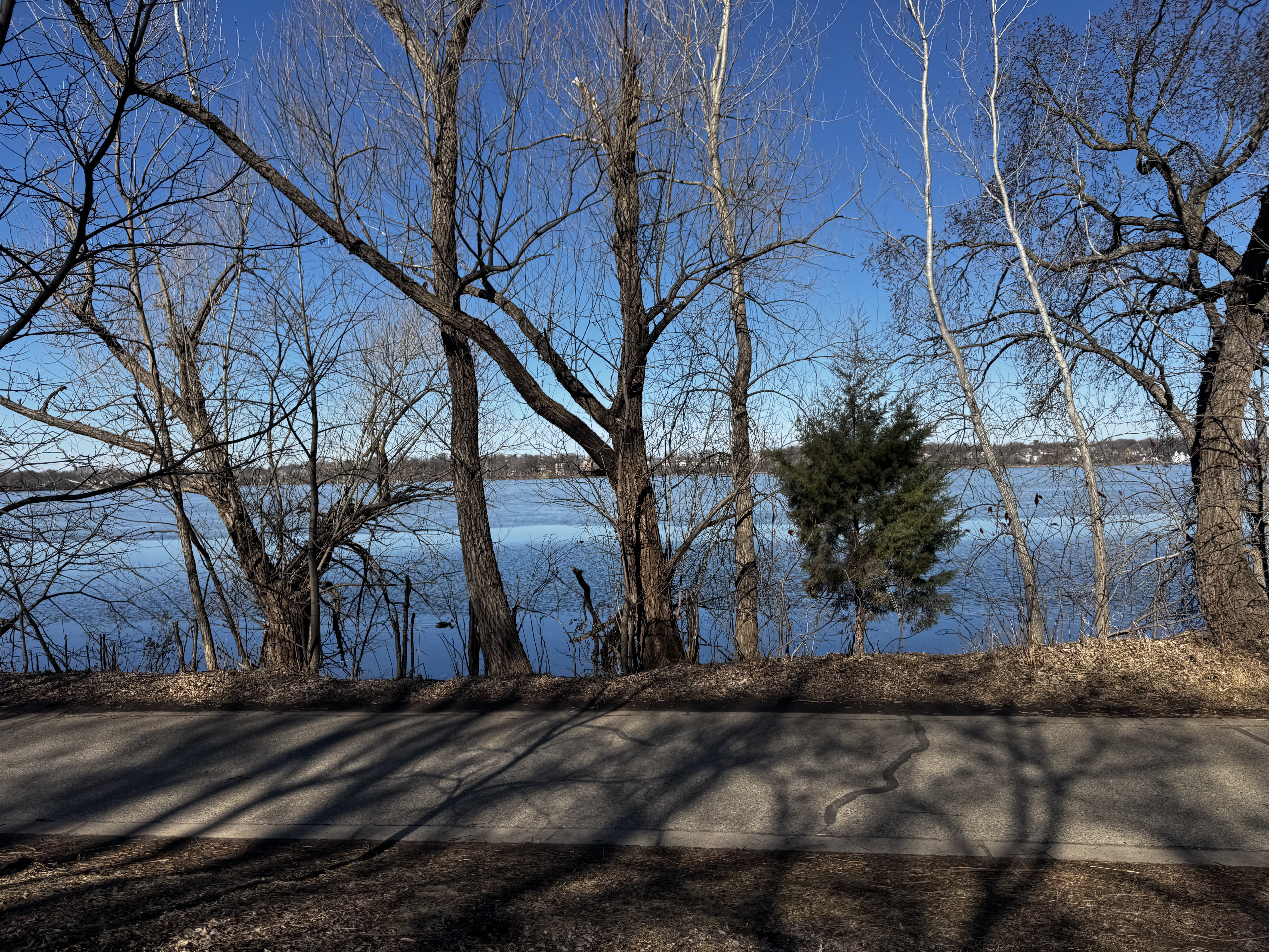
Because of one-ways will have to go around the parking lot at Ft. Snelling to get back to the path to head toward Minnehaha Park.
The path on Pilot Knob switches sides so use caution when crossing the street near Northland Dr.
- -:--
- Duration
- 14.7 km
- Distance
- 83 m
- Ascent
- 79 m
- Descent
- ---
- Avg. speed
- ---
- Max. altitude
Route highlights
Points of interest along the route
Point of interest after 8.7 km
Need to follow this path (east side of parking lot) to exit onto path.
Point of interest after 12.9 km
Path is on east side of road.
Point of interest after 13.7 km
Path switches sides of the road.
Continue with Bikemap
Use, edit, or download this cycling route
You would like to ride B2B00534 55407>55121 via Hiawatha Trl, Big Rivers Trl, Pilot Knob Rd or customize it for your own trip? Here is what you can do with this Bikemap route:
Free features
- Save this route as favorite or in collections
- Copy & plan your own version of this route
- Sync your route with Garmin or Wahoo
Premium features
Free trial for 3 days, or one-time payment. More about Bikemap Premium.
- Navigate this route on iOS & Android
- Export a GPX / KML file of this route
- Create your custom printout (try it for free)
- Download this route for offline navigation
Discover more Premium features.
Get Bikemap PremiumFrom our community
Other popular routes starting in Minneapolis
 6-3 On East And West River Parkway
- Distance
- 21.4 km
- Ascent
- 245 m
- Descent
- 248 m
- Location
- Minneapolis, Minnesota, United States
 1512 Spruce Pl, Minneapolis to 1512 Spruce Pl, Minneapolis
- Distance
- 27.3 km
- Ascent
- 123 m
- Descent
- 123 m
- Location
- Minneapolis, Minnesota, United States
 1500–1562 Spruce Pl, Minneapolis to 1512 Spruce Pl, Minneapolis
- Distance
- 25 km
- Ascent
- 106 m
- Descent
- 107 m
- Location
- Minneapolis, Minnesota, United States
 East/West River Ride
- Distance
- 22.6 km
- Ascent
- 216 m
- Descent
- 217 m
- Location
- Minneapolis, Minnesota, United States
 34 Spruce Pl, Minneapolis to Loring Park, Minneapolis
- Distance
- 15.3 km
- Ascent
- 62 m
- Descent
- 63 m
- Location
- Minneapolis, Minnesota, United States
 S Sixth St, Minneapolis to Spruce Pl, Minneapolis
- Distance
- 1.7 km
- Ascent
- 6 m
- Descent
- 21 m
- Location
- Minneapolis, Minnesota, United States
 30 Miles
- Distance
- 46.5 km
- Ascent
- 122 m
- Descent
- 142 m
- Location
- Minneapolis, Minnesota, United States
 Three Lakes
- Distance
- 15.9 km
- Ascent
- 55 m
- Descent
- 56 m
- Location
- Minneapolis, Minnesota, United States
Open it in the app