circle of death
A cycling route starting in Town and Country, Washington, United States.
Overview
About this route
painful for days
- -:--
- Duration
- 24.2 km
- Distance
- 173 m
- Ascent
- 173 m
- Descent
- ---
- Avg. speed
- ---
- Max. altitude
Route quality
Waytypes & surfaces along the route
Waytypes
Quiet road
11.4 km
(47 %)
Busy road
7.7 km
(32 %)
Surfaces
Paved
19.4 km
(80 %)
Unpaved
0.4 km
(2 %)
Asphalt
19.4 km
(80 %)
Gravel
0.4 km
(2 %)
Undefined
4.4 km
(18 %)
Continue with Bikemap
Use, edit, or download this cycling route
You would like to ride circle of death or customize it for your own trip? Here is what you can do with this Bikemap route:
Free features
- Save this route as favorite or in collections
- Copy & plan your own version of this route
- Sync your route with Garmin or Wahoo
Premium features
Free trial for 3 days, or one-time payment. More about Bikemap Premium.
- Navigate this route on iOS & Android
- Export a GPX / KML file of this route
- Create your custom printout (try it for free)
- Download this route for offline navigation
Discover more Premium features.
Get Bikemap PremiumFrom our community
Other popular routes starting in Town and Country
- Gonzaga & Brown's Addition
- Distance
- 24.8 km
- Ascent
- 142 m
- Descent
- 144 m
- Location
- Town and Country, Washington, United States
- Hilly 45.5 K
- Distance
- 45.6 km
- Ascent
- 418 m
- Descent
- 419 m
- Location
- Town and Country, Washington, United States
- DMS 7 Hills Loop
- Distance
- 44.9 km
- Ascent
- 489 m
- Descent
- 489 m
- Location
- Town and Country, Washington, United States
- DMSC to Cheney Fence at Mile 9 marker
- Distance
- 50 km
- Ascent
- 201 m
- Descent
- 201 m
- Location
- Town and Country, Washington, United States
- Four Mounds Loop
- Distance
- 40 km
- Ascent
- 357 m
- Descent
- 357 m
- Location
- Town and Country, Washington, United States
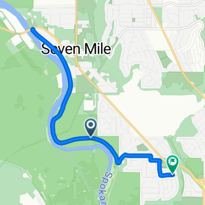
- North Douglass Street 6930, Spokane to North Douglass Street 6934, Spokane
- Distance
- 6.9 km
- Ascent
- 30 m
- Descent
- 27 m
- Location
- Town and Country, Washington, United States
- JLB N. Old Trails E. River Loop
- Distance
- 37 km
- Ascent
- 252 m
- Descent
- 253 m
- Location
- Town and Country, Washington, United States
- Aubrey White Pkwy #1
- Distance
- 16.2 km
- Ascent
- 235 m
- Descent
- 237 m
- Location
- Town and Country, Washington, United States
Open it in the app