

Whiteshill to Cirencester
A cycling route starting in Stroud, England, United Kingdom.
Overview
About this route
Avoids direct A roads (which adds 5 miles each way) via Minchinhampton, Cherrington, Oathill, Rodmarton, Tarlton, Kemble & Ewen
- -:--
- Duration
- 33.7 km
- Distance
- 254 m
- Ascent
- 309 m
- Descent
- ---
- Avg. speed
- ---
- Max. altitude

Route quality
Waytypes & surfaces along the route
Waytypes
Quiet road
21.6 km
(64 %)
Road
5.4 km
(16 %)
Surfaces
Paved
18.9 km
(56 %)
Asphalt
16.9 km
(50 %)
Paved (undefined)
2 km
(6 %)
Undefined
14.8 km
(44 %)
Continue with Bikemap
Use, edit, or download this cycling route
You would like to ride Whiteshill to Cirencester or customize it for your own trip? Here is what you can do with this Bikemap route:
Free features
- Save this route as favorite or in collections
- Copy & plan your own version of this route
- Sync your route with Garmin or Wahoo
Premium features
Free trial for 3 days, or one-time payment. More about Bikemap Premium.
- Navigate this route on iOS & Android
- Export a GPX / KML file of this route
- Create your custom printout (try it for free)
- Download this route for offline navigation
Discover more Premium features.
Get Bikemap PremiumFrom our community
Other popular routes starting in Stroud
 Whiteshill to Cirencester
- Distance
- 33.7 km
- Ascent
- 254 m
- Descent
- 309 m
- Location
- Stroud, England, United Kingdom
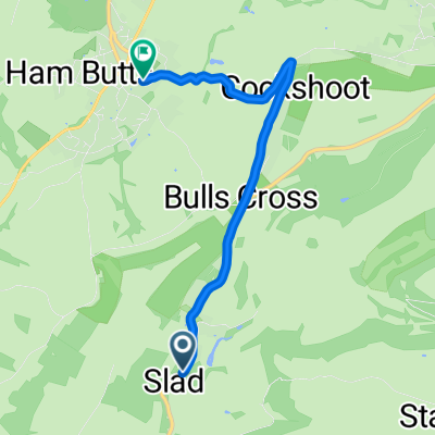 Slad Road, Stroud to Bisley Street, Stroud
- Distance
- 4.6 km
- Ascent
- 131 m
- Descent
- 102 m
- Location
- Stroud, England, United Kingdom
 Whiteshill to Nailsworth, Avening, Cherrington, Sapperton, Duntisbourne Abbotts, Winstone, Syde, Brimpsfield, Birdlip, Bulls Cross & home
- Distance
- 55.5 km
- Ascent
- 496 m
- Descent
- 499 m
- Location
- Stroud, England, United Kingdom
 Whiteshill to Arlingham peninsula, Severn Vale & back
- Distance
- 62.3 km
- Ascent
- 265 m
- Descent
- 270 m
- Location
- Stroud, England, United Kingdom
 Whiteshill to Bisley - Chalford loop
- Distance
- 33.6 km
- Ascent
- 390 m
- Descent
- 385 m
- Location
- Stroud, England, United Kingdom
 day 3 2018
- Distance
- 73.7 km
- Ascent
- 183 m
- Descent
- 177 m
- Location
- Stroud, England, United Kingdom
 Whiteshill to Gloucester via Stonehouse, Standish, Epney, canal path to docks & cathedral, Hardwicke Stonehouse, Ruscombe & return
- Distance
- 57.9 km
- Ascent
- 288 m
- Descent
- 332 m
- Location
- Stroud, England, United Kingdom
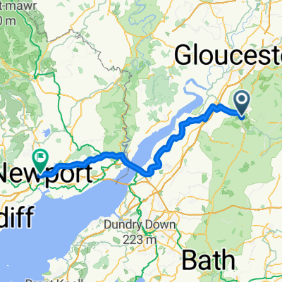 The Mill Pond, Stroud to Queensway, Newport
- Distance
- 76.7 km
- Ascent
- 586 m
- Descent
- 622 m
- Location
- Stroud, England, United Kingdom
Open it in the app