

Zum Picknick an den Fuggerweiher
A cycling route starting in Illertissen, Bavaria, Germany.
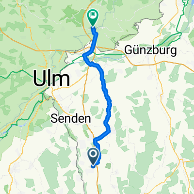
Overview
About this route
In coronatimes picking up food at the tavern and driving to an idyllic spot for a picnic: it combines the pleasant with the useful of a bike tour.
- -:--
- Duration
- 55.3 km
- Distance
- 380 m
- Ascent
- 386 m
- Descent
- ---
- Avg. speed
- ---
- Max. altitude

Route photos


Route quality
Waytypes & surfaces along the route
Waytypes
Track
32.6 km
(59 %)
Quiet road
8.8 km
(16 %)
Surfaces
Paved
18.8 km
(34 %)
Unpaved
28.2 km
(51 %)
Gravel
20.5 km
(37 %)
Asphalt
15.5 km
(28 %)
Route highlights
Points of interest along the route
Point of interest after 22.8 km
Bertele-Stuben: herzliche Gastlichkeit, hervorragendes, gutbürgerliches Essen, Sonnenterrasse...ideal für die Rast auf der Tour.
Continue with Bikemap
Use, edit, or download this cycling route
You would like to ride Zum Picknick an den Fuggerweiher or customize it for your own trip? Here is what you can do with this Bikemap route:
Free features
- Save this route as favorite or in collections
- Copy & plan your own version of this route
- Sync your route with Garmin or Wahoo
Premium features
Free trial for 3 days, or one-time payment. More about Bikemap Premium.
- Navigate this route on iOS & Android
- Export a GPX / KML file of this route
- Create your custom printout (try it for free)
- Download this route for offline navigation
Discover more Premium features.
Get Bikemap PremiumFrom our community
Other popular routes starting in Illertissen
 Illertissen-Langenau
- Distance
- 39.7 km
- Ascent
- 127 m
- Descent
- 155 m
- Location
- Illertissen, Bavaria, Germany
 Ill-Rothtal_24-var-3
- Distance
- 23.4 km
- Ascent
- 123 m
- Descent
- 121 m
- Location
- Illertissen, Bavaria, Germany
 Großen Runde Illertissen-Pfaffenhofen
- Distance
- 42.7 km
- Ascent
- 89 m
- Descent
- 97 m
- Location
- Illertissen, Bavaria, Germany
 Schwäbische Cafè-Tour Illert-Senden
- Distance
- 72.8 km
- Ascent
- 485 m
- Descent
- 996 m
- Location
- Illertissen, Bavaria, Germany
 Kellmünz-Rothtal-Illertissen
- Distance
- 63.9 km
- Ascent
- 297 m
- Descent
- 297 m
- Location
- Illertissen, Bavaria, Germany
 Südl. von Jedesheim
- Distance
- 52.3 km
- Ascent
- 253 m
- Descent
- 257 m
- Location
- Illertissen, Bavaria, Germany
 Schwäbische Kartoffeltour
- Distance
- 213.8 km
- Ascent
- 3,736 m
- Descent
- 4,247 m
- Location
- Illertissen, Bavaria, Germany
 Illertissen, Erolzheim, Memmingen, Illertissen
- Distance
- 54.1 km
- Ascent
- 188 m
- Descent
- 180 m
- Location
- Illertissen, Bavaria, Germany
Open it in the app