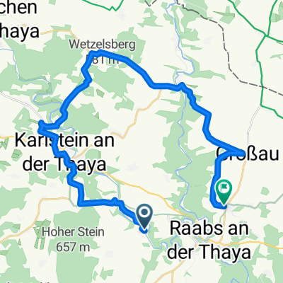
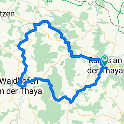
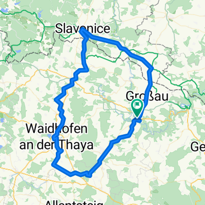
Thaya Runde
A cycling route starting in Raabs an der Thaya, Lower Austria, Austria.
Overview
About this route
- -:--
- Duration
- 88.8 km
- Distance
- 409 m
- Ascent
- 410 m
- Descent
- ---
- Avg. speed
- ---
- Avg. speed
Route quality
Waytypes & surfaces along the route
Waytypes
Cycleway
41.9 km
(47 %)
Busy road
20 km
(23 %)
Surfaces
Paved
64.9 km
(73 %)
Unpaved
0.1 km
(<1 %)
Asphalt
62.5 km
(70 %)
Paved (undefined)
1.8 km
(2 %)
Continue with Bikemap
Use, edit, or download this cycling route
You would like to ride Thaya Runde or customize it for your own trip? Here is what you can do with this Bikemap route:
Free features
- Save this route as favorite or in collections
- Copy & plan your own version of this route
- Sync your route with Garmin or Wahoo
Premium features
Free trial for 3 days, or one-time payment. More about Bikemap Premium.
- Navigate this route on iOS & Android
- Export a GPX / KML file of this route
- Create your custom printout (try it for free)
- Download this route for offline navigation
Discover more Premium features.
Get Bikemap PremiumFrom our community
Other popular routes starting in Raabs an der Thaya
- Thayarunde Alternative 2 zu Entwurf 4
- Distance
- 62.9 km
- Ascent
- 638 m
- Descent
- 463 m
- Location
- Raabs an der Thaya, Lower Austria, Austria
- Thaya Runde
- Distance
- 88.8 km
- Ascent
- 409 m
- Descent
- 410 m
- Location
- Raabs an der Thaya, Lower Austria, Austria
- Raabs an der Thaya Radrunde
- Distance
- 68.1 km
- Ascent
- 750 m
- Descent
- 751 m
- Location
- Raabs an der Thaya, Lower Austria, Austria
- Route Radrunde Raabs an der Thaya
- Distance
- 33.5 km
- Ascent
- 504 m
- Descent
- 505 m
- Location
- Raabs an der Thaya, Lower Austria, Austria
- Hsgz Runde
- Distance
- 54.8 km
- Ascent
- 398 m
- Descent
- 331 m
- Location
- Raabs an der Thaya, Lower Austria, Austria
- Thayarunde Entwurf 4
- Distance
- 72.6 km
- Ascent
- 563 m
- Descent
- 388 m
- Location
- Raabs an der Thaya, Lower Austria, Austria
- 31.07.10 - Einrollrunde an der Thaya
- Distance
- 27.1 km
- Ascent
- 397 m
- Descent
- 395 m
- Location
- Raabs an der Thaya, Lower Austria, Austria
- Modsiedl Drosendorf
- Distance
- 11.1 km
- Ascent
- 108 m
- Descent
- 224 m
- Location
- Raabs an der Thaya, Lower Austria, Austria
Open it in the app