

Catamarca, El Rodeo Julio 2010
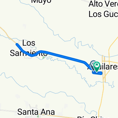
A cycling route starting in Aguilares, Tucumán Province, Argentina.
Overview
About this route
From Villa Alberdi via Escaba to El Bolson and the Varela, Humalla, Las Juntas, and the Rodeo up to San F. in the Catamarca Valley and return via the Las Pirquiitas dam, the Varele back to Ciudad Alberdi.
- -:--
- Duration
- 319.7 km
- Distance
- 3,378 m
- Ascent
- 3,382 m
- Descent
- ---
- Avg. speed
- ---
- Max. altitude
Route quality
Waytypes & surfaces along the route
Waytypes
Road
108.7 km
(34 %)
Quiet road
44.8 km
(14 %)
Surfaces
Paved
150.3 km
(47 %)
Unpaved
137.5 km
(43 %)
Paved (undefined)
137.5 km
(43 %)
Unpaved (undefined)
92.7 km
(29 %)
Continue with Bikemap
Use, edit, or download this cycling route
You would like to ride Catamarca, El Rodeo Julio 2010 or customize it for your own trip? Here is what you can do with this Bikemap route:
Free features
- Save this route as favorite or in collections
- Copy & plan your own version of this route
- Split it into stages to create a multi-day tour
- Sync your route with Garmin or Wahoo
Premium features
Free trial for 3 days, or one-time payment. More about Bikemap Premium.
- Navigate this route on iOS & Android
- Export a GPX / KML file of this route
- Create your custom printout (try it for free)
- Download this route for offline navigation
Discover more Premium features.
Get Bikemap PremiumFrom our community
Other popular routes starting in Aguilares
 De Ruta Provincial 331 a Ruta Provincial 331
- Distance
- 22.1 km
- Ascent
- 155 m
- Descent
- 284 m
- Location
- Aguilares, Tucumán Province, Argentina
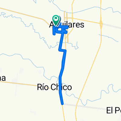
 De Alejandro Aguado a Remedios de Escalada
- Distance
- 20 km
- Ascent
- 46 m
- Descent
- 80 m
- Location
- Aguilares, Tucumán Province, Argentina
 Catamarca, El Rodeo Julio 2010
- Distance
- 319.7 km
- Ascent
- 3,378 m
- Descent
- 3,382 m
- Location
- Aguilares, Tucumán Province, Argentina
 Cycle for Heart 2010, Juan Bautista Alberdi to Tucuman
- Distance
- 99.8 km
- Ascent
- 97 m
- Descent
- 40 m
- Location
- Aguilares, Tucumán Province, Argentina
 Ruta relajada
- Distance
- 31.3 km
- Ascent
- 400 m
- Descent
- 412 m
- Location
- Aguilares, Tucumán Province, Argentina
 De General J M. Paz 1145, Aguilares a Adolfo Alsina 2128, Aguilares
- Distance
- 21.4 km
- Ascent
- 83 m
- Descent
- 82 m
- Location
- Aguilares, Tucumán Province, Argentina
 De M. Perilli 1001-1099 a Avenida Mitre
- Distance
- 38.5 km
- Ascent
- 734 m
- Descent
- 762 m
- Location
- Aguilares, Tucumán Province, Argentina
 De Corrientes 1300, Juan Bautista Alberdi a Juan Bautista Alberdi
- Distance
- 31.5 km
- Ascent
- 942 m
- Descent
- 966 m
- Location
- Aguilares, Tucumán Province, Argentina
Open it in the app