
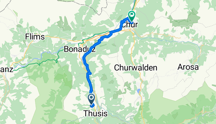
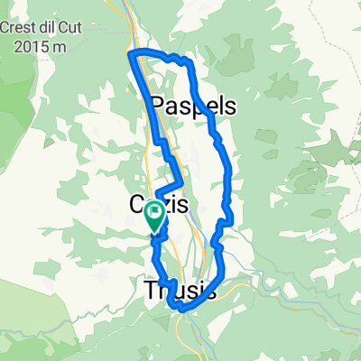
Summaprada - Chur
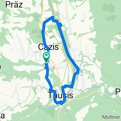
A cycling route starting in Cazis, Grisons, Switzerland.
Overview
About this route
- -:--
- Duration
- 27.1 km
- Distance
- 264 m
- Ascent
- 443 m
- Descent
- ---
- Avg. speed
- ---
- Max. altitude

Continue with Bikemap
Use, edit, or download this cycling route
You would like to ride Summaprada - Chur or customize it for your own trip? Here is what you can do with this Bikemap route:
Free features
- Save this route as favorite or in collections
- Copy & plan your own version of this route
- Sync your route with Garmin or Wahoo
Premium features
Free trial for 3 days, or one-time payment. More about Bikemap Premium.
- Navigate this route on iOS & Android
- Export a GPX / KML file of this route
- Create your custom printout (try it for free)
- Download this route for offline navigation
Discover more Premium features.
Get Bikemap PremiumFrom our community
Other popular routes starting in Cazis
 Route nach Almenserstrasse 11–103, Almens
- Distance
- 12.1 km
- Ascent
- 1,763 m
- Descent
- 2,264 m
- Location
- Cazis, Grisons, Switzerland
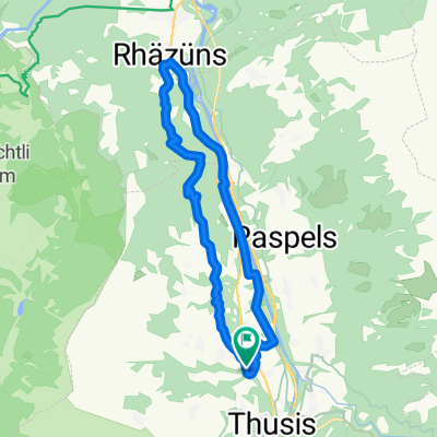 rhäzünser
- Distance
- 24.4 km
- Ascent
- 750 m
- Descent
- 748 m
- Location
- Cazis, Grisons, Switzerland
 Untitled route
- Distance
- 37.1 km
- Ascent
- 1,257 m
- Descent
- 1,256 m
- Location
- Cazis, Grisons, Switzerland
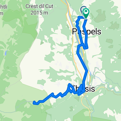
 Heinzenberg Domlesch Rundfahrt 01
- Distance
- 22.2 km
- Ascent
- 401 m
- Descent
- 394 m
- Location
- Cazis, Grisons, Switzerland
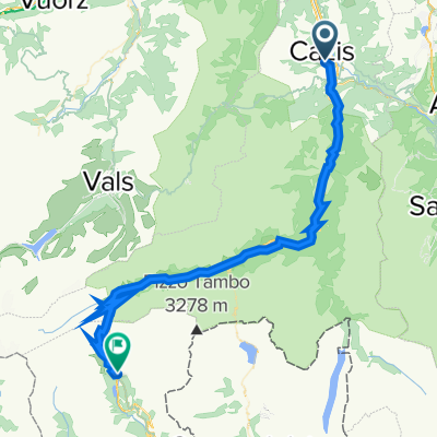 3. Etappe Alpenüberquerung: Cazis - San Bernardino
- Distance
- 55.7 km
- Ascent
- 2,062 m
- Descent
- 1,133 m
- Location
- Cazis, Grisons, Switzerland
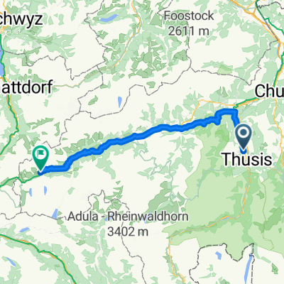 Alpenrunde Teil 15: Cazis - Dieni
- Distance
- 75.8 km
- Ascent
- 2,228 m
- Descent
- 1,622 m
- Location
- Cazis, Grisons, Switzerland
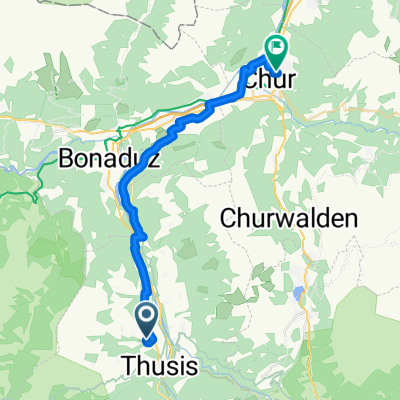 Summaprada - Chur
- Distance
- 27.1 km
- Ascent
- 264 m
- Descent
- 443 m
- Location
- Cazis, Grisons, Switzerland
 Domleschgrundfahrt Mini
- Distance
- 12.3 km
- Ascent
- 236 m
- Descent
- 236 m
- Location
- Cazis, Grisons, Switzerland
Open it in the app