

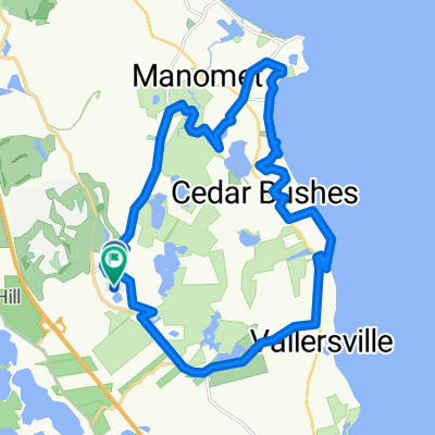
Recovered Route
A cycling route starting in White Island Shores, Massachusetts, United States.
Overview
About this route
- 20 min
- Duration
- 2.8 km
- Distance
- 56 m
- Ascent
- 61 m
- Descent
- 8.6 km/h
- Avg. speed
- ---
- Max. altitude

Route quality
Waytypes & surfaces along the route
Waytypes
Cycleway
1.4 km
(48 %)
Quiet road
1.1 km
(37 %)
Surfaces
Paved
1.4 km
(48 %)
Unpaved
0.1 km
(3 %)
Paved (undefined)
1.4 km
(48 %)
Ground
0.1 km
(3 %)
Undefined
1.4 km
(49 %)
Continue with Bikemap
Use, edit, or download this cycling route
You would like to ride Recovered Route or customize it for your own trip? Here is what you can do with this Bikemap route:
Free features
- Save this route as favorite or in collections
- Copy & plan your own version of this route
- Sync your route with Garmin or Wahoo
Premium features
Free trial for 3 days, or one-time payment. More about Bikemap Premium.
- Navigate this route on iOS & Android
- Export a GPX / KML file of this route
- Create your custom printout (try it for free)
- Download this route for offline navigation
Discover more Premium features.
Get Bikemap PremiumFrom our community
Other popular routes starting in White Island Shores
 Steady ride in Buzzards Bay
- Distance
- 19.4 km
- Ascent
- 168 m
- Descent
- 184 m
- Location
- White Island Shores, Massachusetts, United States
 194 Cranberry Rd, Plymouth to 194 Cranberry Rd, Plymouth
- Distance
- 13.7 km
- Ascent
- 160 m
- Descent
- 160 m
- Location
- White Island Shores, Massachusetts, United States
 Hidden Cove, Plymouth to Hidden Cove, Plymouth
- Distance
- 24.4 km
- Ascent
- 375 m
- Descent
- 362 m
- Location
- White Island Shores, Massachusetts, United States
 Plymouth to 600–698 Little Sandy Pond Rd, Plymouth
- Distance
- 10.4 km
- Ascent
- 99 m
- Descent
- 109 m
- Location
- White Island Shores, Massachusetts, United States
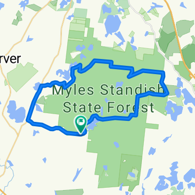 Miles Standish
- Distance
- 29.1 km
- Ascent
- 169 m
- Descent
- 166 m
- Location
- White Island Shores, Massachusetts, United States
 1 Cabernet Ln, Plymouth to 1 Cabernet Ln, Plymouth
- Distance
- 24.5 km
- Ascent
- 330 m
- Descent
- 328 m
- Location
- White Island Shores, Massachusetts, United States
 upper college to charge pond
- Distance
- 6.2 km
- Ascent
- 114 m
- Descent
- 81 m
- Location
- White Island Shores, Massachusetts, United States
 Mild Pinehills Loop
- Distance
- 6.4 km
- Ascent
- 150 m
- Descent
- 150 m
- Location
- White Island Shores, Massachusetts, United States
Open it in the app