Erzgebirgsquartett
- 213.8 km
- 3,903 m
- 3,814 m
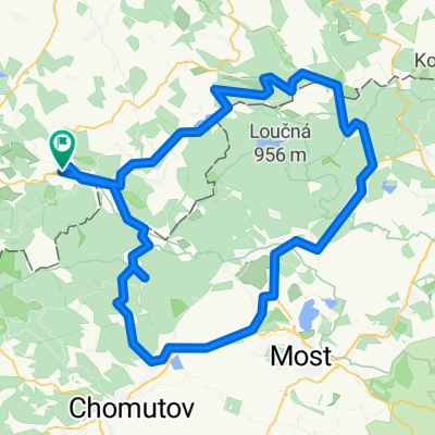
- Olbernhau, Saxony, Germany
A cycling route starting in Olbernhau, Saxony, Germany.
Overview
I did the loop as a flat 'roller route' right the day after a long and hard training ride. Other than a few short climbs, nothing difficult. Early in spring, it's definitely good for building up. Scenery is very beautiful - especially around the Rauschenbach dam. It's surely also a nice family tour.
created this 17 years ago
Route quality
Quiet road
14.3 km
(29 %)
Road
2.5 km
(5 %)
Paved
38.5 km
(78 %)
Unpaved
2 km
(4 %)
Asphalt
38 km
(77 %)
Unpaved (undefined)
1 km
(2 %)
Continue with Bikemap
You would like to ride Olbernhau - Talsperre Rauschenbach or customize it for your own trip? Here is what you can do with this Bikemap route:
Free trial for 3 days, or one-time payment. More about Bikemap Premium.
Discover more Premium features.
Get Bikemap PremiumFrom our community
Open it in the app