

Heimfahrt_16_04_2020
A cycling route starting in Bad Krozingen, Baden-Wurttemberg, Germany.
Overview
About this route
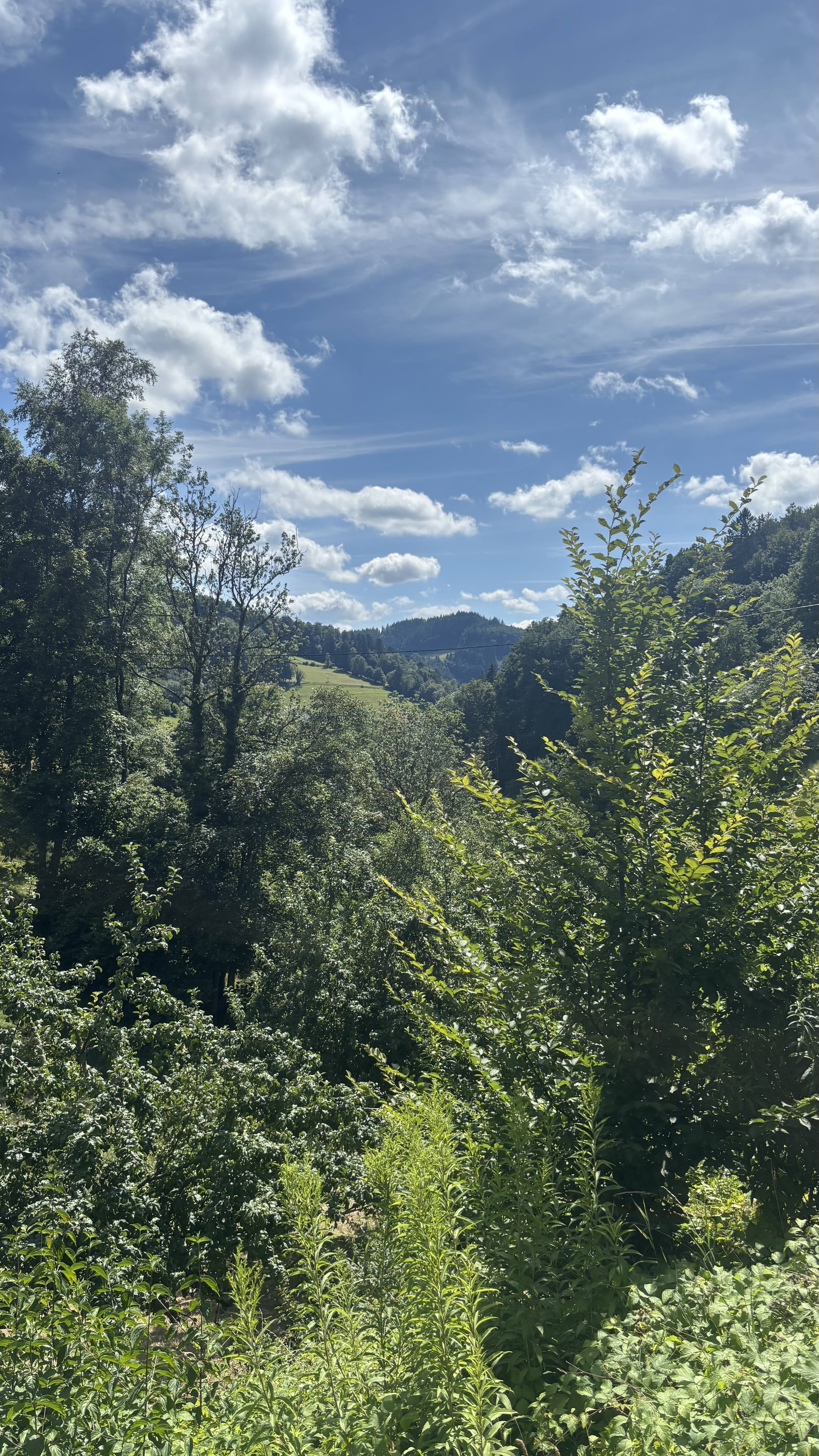
On beautiful secondary roads through the Markgräflerland
- -:--
- Duration
- 32.8 km
- Distance
- 552 m
- Ascent
- 561 m
- Descent
- ---
- Avg. speed
- ---
- Max. altitude

Route quality
Waytypes & surfaces along the route
Waytypes
Road
8.2 km
(25 %)
Quiet road
7.9 km
(24 %)
Surfaces
Paved
30.5 km
(93 %)
Unpaved
0.3 km
(1 %)
Asphalt
26.6 km
(81 %)
Paved (undefined)
3.9 km
(12 %)
Continue with Bikemap
Use, edit, or download this cycling route
You would like to ride Heimfahrt_16_04_2020 or customize it for your own trip? Here is what you can do with this Bikemap route:
Free features
- Save this route as favorite or in collections
- Copy & plan your own version of this route
- Sync your route with Garmin or Wahoo
Premium features
Free trial for 3 days, or one-time payment. More about Bikemap Premium.
- Navigate this route on iOS & Android
- Export a GPX / KML file of this route
- Create your custom printout (try it for free)
- Download this route for offline navigation
Discover more Premium features.
Get Bikemap PremiumFrom our community
Other popular routes starting in Bad Krozingen
 Wieden - um den Belchen
- Distance
- 72 km
- Ascent
- 2,310 m
- Descent
- 1,978 m
- Location
- Bad Krozingen, Baden-Wurttemberg, Germany
 Markgräfler Impressionen
- Distance
- 44 km
- Ascent
- 1,124 m
- Descent
- 1,122 m
- Location
- Bad Krozingen, Baden-Wurttemberg, Germany
 Staufen, Staufen im Breisgau nach Im Wolfacker 8, Staufen im Breisgau
- Distance
- 23.5 km
- Ascent
- 444 m
- Descent
- 442 m
- Location
- Bad Krozingen, Baden-Wurttemberg, Germany
 belchen
- Distance
- 30 km
- Ascent
- 1,208 m
- Descent
- 116 m
- Location
- Bad Krozingen, Baden-Wurttemberg, Germany
 Krozinger Straße, Staufen im Breisgau - St Ulrich, Bollschweil
- Distance
- 13.1 km
- Ascent
- 517 m
- Descent
- 169 m
- Location
- Bad Krozingen, Baden-Wurttemberg, Germany
 Tour 2025 2. Tag
- Distance
- 62.6 km
- Ascent
- 387 m
- Descent
- 396 m
- Location
- Bad Krozingen, Baden-Wurttemberg, Germany
 Staufen-St.Ulrich-Horben-Schauinsland-Todtnau-Utzenfeld-Wiedener Eck-Münstertal
- Distance
- 84.4 km
- Ascent
- 2,103 m
- Descent
- 2,106 m
- Location
- Bad Krozingen, Baden-Wurttemberg, Germany
 Um den Kaiserstuhl nach Freiamt
- Distance
- 132.3 km
- Ascent
- 477 m
- Descent
- 478 m
- Location
- Bad Krozingen, Baden-Wurttemberg, Germany
Open it in the app