
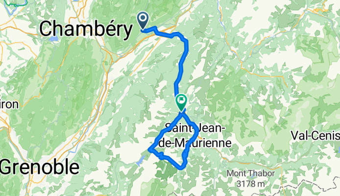
Col du Croix de Fer loop
A cycling route starting in Coise, Auvergne-Rhône-Alpes, France.
Overview
About this route
Chateau des Aulles to St Jean du marrienne, over Croix de Fer, down Glandon.
- -:--
- Duration
- 119.2 km
- Distance
- 2,001 m
- Ascent
- 1,928 m
- Descent
- ---
- Avg. speed
- ---
- Max. altitude
Route quality
Waytypes & surfaces along the route
Waytypes
Quiet road
9.5 km
(8 %)
Road
2.4 km
(2 %)
Surfaces
Paved
50.1 km
(42 %)
Asphalt
50.1 km
(42 %)
Undefined
69.1 km
(58 %)
Continue with Bikemap
Use, edit, or download this cycling route
You would like to ride Col du Croix de Fer loop or customize it for your own trip? Here is what you can do with this Bikemap route:
Free features
- Save this route as favorite or in collections
- Copy & plan your own version of this route
- Split it into stages to create a multi-day tour
- Sync your route with Garmin or Wahoo
Premium features
Free trial for 3 days, or one-time payment. More about Bikemap Premium.
- Navigate this route on iOS & Android
- Export a GPX / KML file of this route
- Create your custom printout (try it for free)
- Download this route for offline navigation
Discover more Premium features.
Get Bikemap PremiumFrom our community
Other popular routes starting in Coise
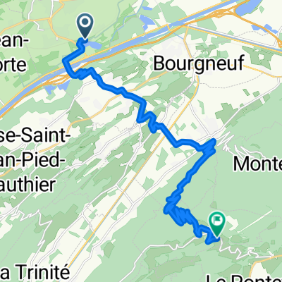 From Saint-Pierre-d'Albigny to Champ-Laurent
- Distance
- 18.7 km
- Ascent
- 1,073 m
- Descent
- 252 m
- Location
- Coise, Auvergne-Rhône-Alpes, France
 baugesmr
- Distance
- 61.7 km
- Ascent
- 1,298 m
- Descent
- 1,326 m
- Location
- Coise, Auvergne-Rhône-Alpes, France
 Col du Croix de Fer loop
- Distance
- 119.2 km
- Ascent
- 2,001 m
- Descent
- 1,928 m
- Location
- Coise, Auvergne-Rhône-Alpes, France
 3.Etappe (Betton-Grenoble)
- Distance
- 64.4 km
- Ascent
- 369 m
- Descent
- 444 m
- Location
- Coise, Auvergne-Rhône-Alpes, France
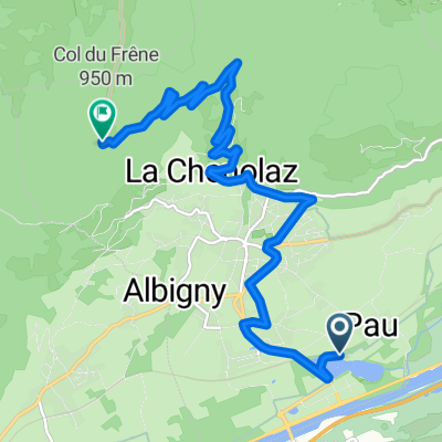 Col du Frêne - from camping Lac de Carouge
- Distance
- 10.8 km
- Ascent
- 796 m
- Descent
- 132 m
- Location
- Coise, Auvergne-Rhône-Alpes, France
 route 6a dag 6 st pierre d albigny - bourg (solo track)
- Distance
- 101.8 km
- Ascent
- 740 m
- Descent
- 306 m
- Location
- Coise, Auvergne-Rhône-Alpes, France
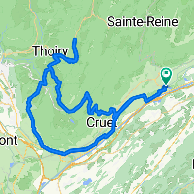 Col de Prés and Col de Marocaz - From Lac de Carouge
- Distance
- 63.2 km
- Ascent
- 1,541 m
- Descent
- 1,541 m
- Location
- Coise, Auvergne-Rhône-Alpes, France
 Marocaz-Prés-Margériaz
- Distance
- 80.8 km
- Ascent
- 1,958 m
- Descent
- 1,958 m
- Location
- Coise, Auvergne-Rhône-Alpes, France
Open it in the app