Café Max
- 38.9 km
- 289 m
- 290 m
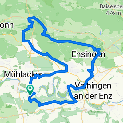
- Mühlacker, Baden-Wurttemberg, Germany
A cycling route starting in Mühlacker, Baden-Wurttemberg, Germany.
Overview
Paved as well as gravel roads and paths. The bicycle should have some suspension and functioning brakes.
created this 5 years ago
Route quality
Track
25.3 km
(56 %)
Quiet road
7.7 km
(17 %)
Paved
37.5 km
(83 %)
Unpaved
5.9 km
(13 %)
Asphalt
36.6 km
(81 %)
Gravel
3.6 km
(8 %)
Continue with Bikemap
You would like to ride Mühlacker - Heimsheim or customize it for your own trip? Here is what you can do with this Bikemap route:
Free trial for 3 days, or one-time payment. More about Bikemap Premium.
Discover more Premium features.
Get Bikemap PremiumFrom our community
Open it in the app