陽光彰化鐵馬行---080824
- 19.9 km
- 489 m
- 256 m
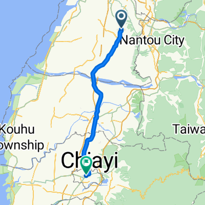
- Chang-hua, Taiwan, Taiwan
A cycling route starting in Chang-hua, Taiwan, Taiwan.
Overview
created this 5 years ago


Continue with Bikemap
You would like to ride 穩定的乘坐 烏日區 or customize it for your own trip? Here is what you can do with this Bikemap route:
Free trial for 3 days, or one-time payment. More about Bikemap Premium.
Discover more Premium features.
Get Bikemap PremiumFrom our community
Open it in the app