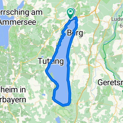
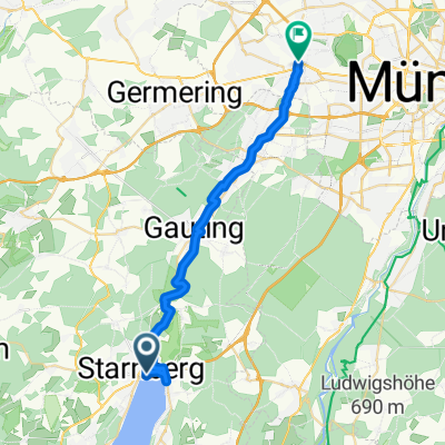
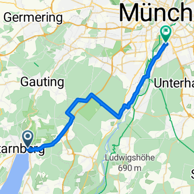
Theo 2
A cycling route starting in Starnberg, Bavaria, Germany.
Overview
About this route
- -:--
- Duration
- 24.2 km
- Distance
- 216 m
- Ascent
- 201 m
- Descent
- ---
- Avg. speed
- ---
- Avg. speed
Continue with Bikemap
Use, edit, or download this cycling route
You would like to ride Theo 2 or customize it for your own trip? Here is what you can do with this Bikemap route:
Free features
- Save this route as favorite or in collections
- Copy & plan your own version of this route
- Sync your route with Garmin or Wahoo
Premium features
Free trial for 3 days, or one-time payment. More about Bikemap Premium.
- Navigate this route on iOS & Android
- Export a GPX / KML file of this route
- Create your custom printout (try it for free)
- Download this route for offline navigation
Discover more Premium features.
Get Bikemap PremiumFrom our community
Other popular routes starting in Starnberg
- STA-Leutstetten-Wangen-STA
- Distance
- 15 km
- Ascent
- 172 m
- Descent
- 169 m
- Location
- Starnberg, Bavaria, Germany
- Um den Starnberger See
- Distance
- 50.3 km
- Ascent
- 306 m
- Descent
- 298 m
- Location
- Starnberg, Bavaria, Germany
- Lena sta larn
- Distance
- 12.4 km
- Ascent
- 167 m
- Descent
- 144 m
- Location
- Starnberg, Bavaria, Germany
- Handbike Starnberg über Villa Rustica Bachausen Berg und zurück
- Distance
- 34 km
- Ascent
- 361 m
- Descent
- 362 m
- Location
- Starnberg, Bavaria, Germany
- Starnberg-Rund um den See
- Distance
- 70.1 km
- Ascent
- 834 m
- Descent
- 831 m
- Location
- Starnberg, Bavaria, Germany
- Starnberger See umrunden
- Distance
- 53 km
- Ascent
- 365 m
- Descent
- 311 m
- Location
- Starnberg, Bavaria, Germany
- Starnbergwanderung - Maisinger Schlucht
- Distance
- 8.1 km
- Ascent
- 146 m
- Descent
- 147 m
- Location
- Starnberg, Bavaria, Germany
- Starnberger See Teil 2
- Distance
- 26 km
- Ascent
- 205 m
- Descent
- 191 m
- Location
- Starnberg, Bavaria, Germany
Open it in the app