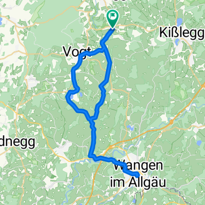
Von Wolfegg bis Otterndorf
- 1,001.1 km
- 6,567 m
- 7,195 m
- Wolfegg, Baden-Wurttemberg, Germany
A cycling route starting in Wolfegg, Baden-Wurttemberg, Germany.
Overview
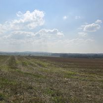
Wolfegg; Windbühl; Untersteg; Rochus Chapel-Baumann; Hochberg viewpoint; Felbers viewpoint; Herfatz; Röhren moss; Allewinden; Sommerried; Langenacker; Unter-Oberried garden; Holdenreute; Fountain; Eintürnenberg
created this 6 years ago
Route quality
Quiet road
34.9 km
68 %
Road
9.7 km
19 %
Paved
39 km
(76 %)
Unpaved
2.6 km
(5 %)
Asphalt
38 km
74 %
Pebblestone
1.5 km
3 %
Continue with Bikemap
You would like to ride Eintürnenberg-Aussichtspunkt-Hochberg-Eintürnenberg or customize it for your own trip? Here is what you can do with this Bikemap route:
Free trial for 3 days, or one-time payment. More about Bikemap Premium.
Discover more Premium features.
Get Bikemap PremiumFrom our community
Open it in the app