

輕鬆的路線 荃灣零悶
A cycling route starting in Shatin, Sha Tin, Hong Kong.
Overview
About this route
- 3 h 10 min
- Duration
- 11 km
- Distance
- 420 m
- Ascent
- 414 m
- Descent
- 3.5 km/h
- Avg. speed
- ---
- Max. altitude

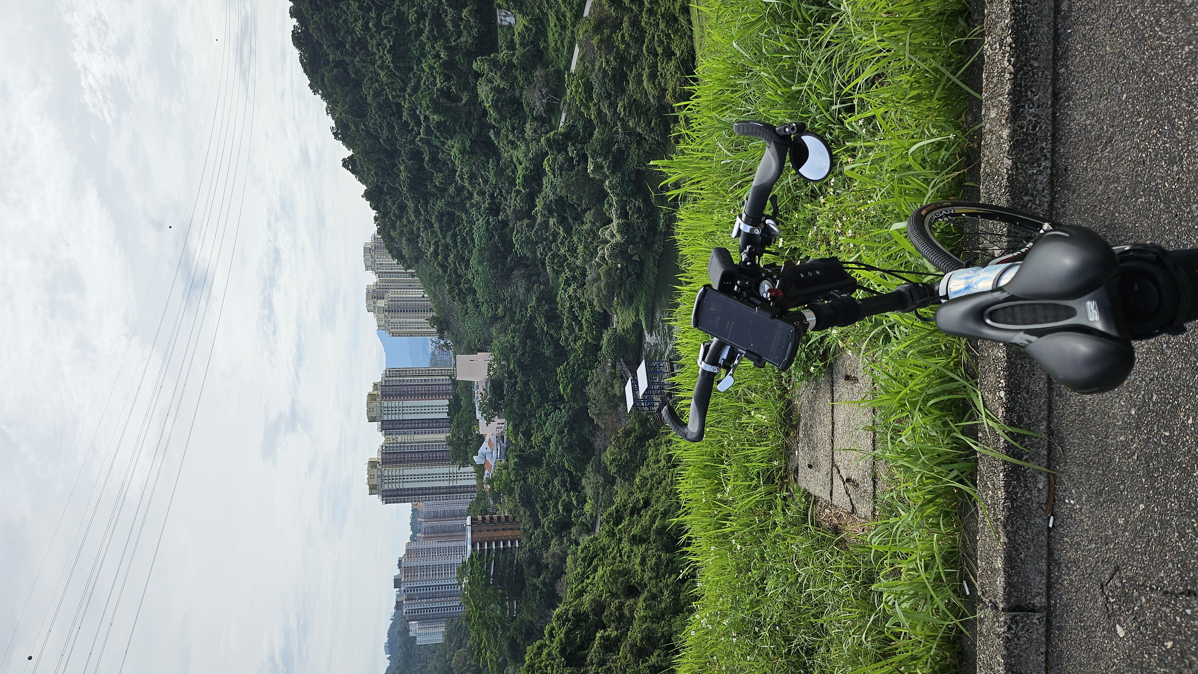
Route photos


Continue with Bikemap
Use, edit, or download this cycling route
You would like to ride 輕鬆的路線 荃灣零悶 or customize it for your own trip? Here is what you can do with this Bikemap route:
Free features
- Save this route as favorite or in collections
- Copy & plan your own version of this route
- Sync your route with Garmin or Wahoo
Premium features
Free trial for 3 days, or one-time payment. More about Bikemap Premium.
- Navigate this route on iOS & Android
- Export a GPX / KML file of this route
- Create your custom printout (try it for free)
- Download this route for offline navigation
Discover more Premium features.
Get Bikemap PremiumFrom our community
Other popular routes starting in Shatin
 沙田-粉嶺-元朗-南生圍 2011-04-24
- Distance
- 91.2 km
- Ascent
- 189 m
- Descent
- 181 m
- Location
- Shatin, Sha Tin, Hong Kong
 Conquer Hong Kong Island from NT
- Distance
- 55.7 km
- Ascent
- 741 m
- Descent
- 738 m
- Location
- Shatin, Sha Tin, Hong Kong
 Moderate route
- Distance
- 29.9 km
- Ascent
- 644 m
- Descent
- 628 m
- Location
- Shatin, Sha Tin, Hong Kong
 香港 - 大圍至大尾篤
- Distance
- 24.2 km
- Ascent
- 117 m
- Descent
- 111 m
- Location
- Shatin, Sha Tin, Hong Kong
 Tai Wai - Tai Mei Tuk
- Distance
- 30.9 km
- Ascent
- 94 m
- Descent
- 102 m
- Location
- Shatin, Sha Tin, Hong Kong
 初三大冷 BIG AROUND 2011-02-05
- Distance
- 88.9 km
- Ascent
- 350 m
- Descent
- 347 m
- Location
- Shatin, Sha Tin, Hong Kong
 big round tenative
- Distance
- 93.3 km
- Ascent
- 355 m
- Descent
- 367 m
- Location
- Shatin, Sha Tin, Hong Kong
 Tai Wai to Tuen Mun 2.0
- Distance
- 57.8 km
- Ascent
- 713 m
- Descent
- 715 m
- Location
- Shatin, Sha Tin, Hong Kong
Open it in the app