TransalpT Classic ET 2
- 94.3 km
- 1,637 m
- 1,224 m
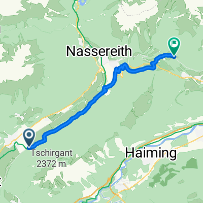
- Tarrenz, Tyrol, Austria
A cycling route starting in Tarrenz, Tyrol, Austria.
Overview
Tarenz - Mieminger Plateau - Leutasch - Mittenwald - Garmisch - Linderhof - Reutte
Route quality
Road
20.2 km
(16 %)
Quiet road
7.6 km
(6 %)
Paved
116.3 km
(92 %)
Unpaved
3.8 km
(3 %)
Asphalt
116.3 km
(92 %)
Loose gravel
2.5 km
(2 %)
Continue with Bikemap
You would like to ride Schongaurunde Tag 3 or customize it for your own trip? Here is what you can do with this Bikemap route:
Free trial for 3 days, or one-time payment. More about Bikemap Premium.
Discover more Premium features.
Get Bikemap PremiumFrom our community
Open it in the app