De Francisco Sarabia a Camino Real
- 5.7 km
- 18 m
- 40 m
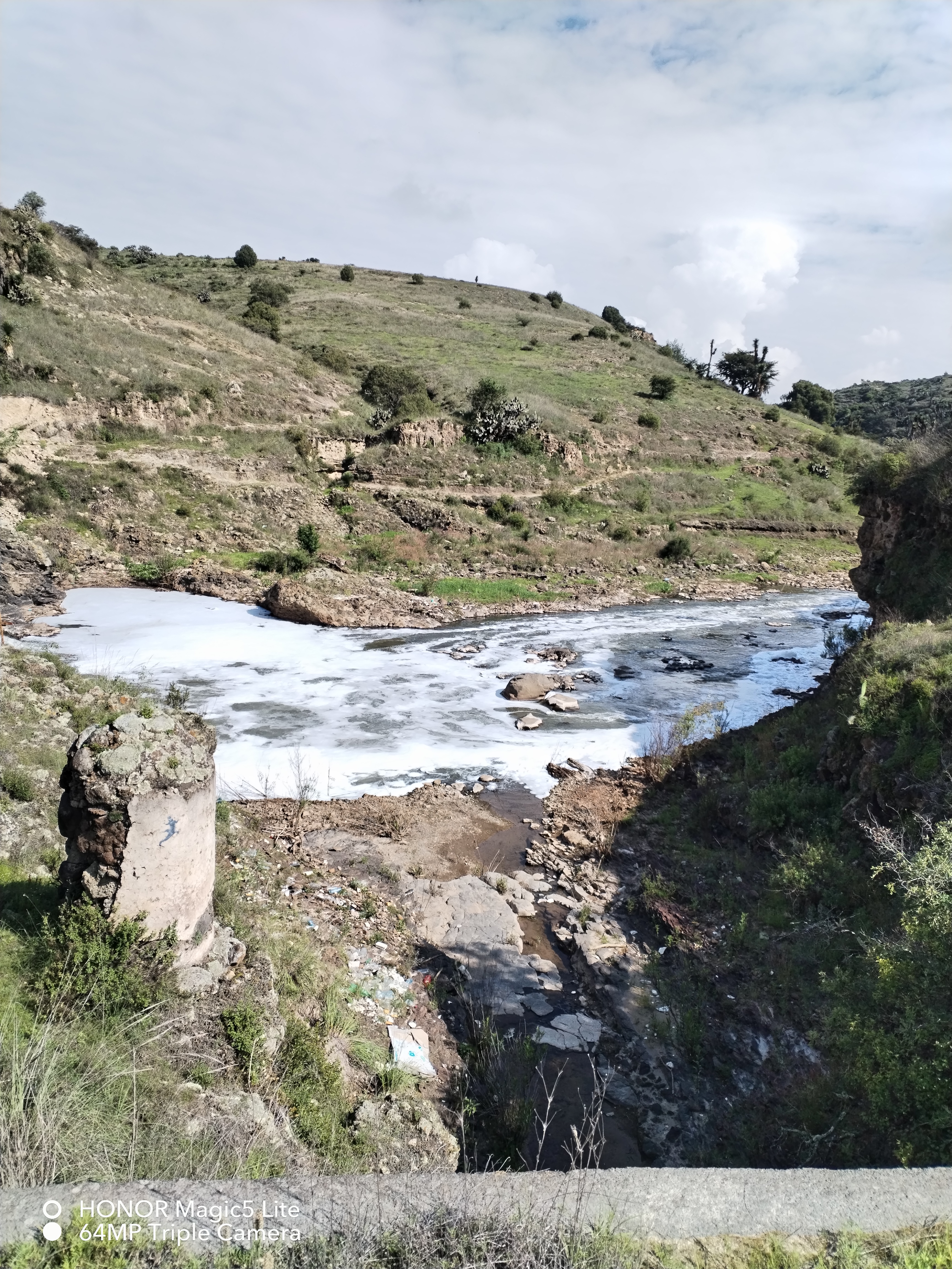
- Estación de Apulco, Hidalgo, Mexico
Free trial for 3 days, or one-time payment. More about Bikemap Premium.
Discover more Premium features.
Get Bikemap PremiumOpen it in the app