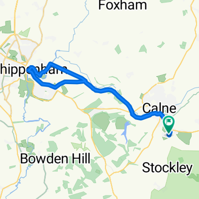
LC-HeddingtonSteps2Bromham2Lacock2Chip2Calne
- 36.8 km
- 240 m
- 241 m
- Calne, England, United Kingdom
A cycling route starting in Calne, England, United Kingdom.
Overview
created this 5 years ago
Route quality
Quiet road
11.8 km
(32 %)
Cycleway
9.9 km
(27 %)
Paved
15.8 km
(43 %)
Unpaved
7.7 km
(21 %)
Asphalt
12.9 km
(35 %)
Unpaved (undefined)
4 km
(11 %)
Continue with Bikemap
You would like to ride LC-HeddingtonSteps2Bromham2Lacock2Chip2Calne or customize it for your own trip? Here is what you can do with this Bikemap route:
Free trial for 3 days, or one-time payment. More about Bikemap Premium.
Discover more Premium features.
Get Bikemap PremiumFrom our community
Open it in the app