BTT 2020 - Secteur 2
A cycling route starting in Murat, Auvergne-Rhône-Alpes, France.
Overview
About this route
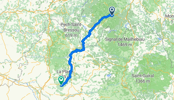
CP1 Forêt de Murat > CP2 Forêt de Grésigne (X D28 / D87 / D7) 44°02'59.4"N 1°45'24.5"E
- -:--
- Duration
- 211.9 km
- Distance
- 3,652 m
- Ascent
- 4,577 m
- Descent
- ---
- Avg. speed
- ---
- Max. altitude
Route quality
Waytypes & surfaces along the route
Waytypes
Road
106 km
(50 %)
Quiet road
36 km
(17 %)
Surfaces
Paved
103.8 km
(49 %)
Unpaved
8.5 km
(4 %)
Asphalt
101.7 km
(48 %)
Gravel
4.2 km
(2 %)
Continue with Bikemap
Use, edit, or download this cycling route
You would like to ride BTT 2020 - Secteur 2 or customize it for your own trip? Here is what you can do with this Bikemap route:
Free features
- Save this route as favorite or in collections
- Copy & plan your own version of this route
- Split it into stages to create a multi-day tour
- Sync your route with Garmin or Wahoo
Premium features
Free trial for 3 days, or one-time payment. More about Bikemap Premium.
- Navigate this route on iOS & Android
- Export a GPX / KML file of this route
- Create your custom printout (try it for free)
- Download this route for offline navigation
Discover more Premium features.
Get Bikemap PremiumFrom our community
Other popular routes starting in Murat
C: Lavigerie (pas de peyrol) - Saint-Vincent-de-Cosse, 3. Etappe: Genf - Bordeaux- Distance
- 189.6 km
- Ascent
- 892 m
- Descent
- 1,947 m
- Location
- Murat, Auvergne-Rhône-Alpes, France
Ride Day 33—14 Oct 2005—15300 Murat to 19110 Bort-les-Orgues- Distance
- 64.9 km
- Ascent
- 588 m
- Descent
- 1,058 m
- Location
- Murat, Auvergne-Rhône-Alpes, France
Le Lioran (15) sur la crête sud de la vallée de la Jordanne- Distance
- 48.8 km
- Ascent
- 1,998 m
- Descent
- 1,997 m
- Location
- Murat, Auvergne-Rhône-Alpes, France
France2023 E14- Distance
- 71.2 km
- Ascent
- 1,421 m
- Descent
- 1,644 m
- Location
- Murat, Auvergne-Rhône-Alpes, France
Brive-la-Gaillarde - Super Lioran- Distance
- 164.7 km
- Ascent
- 1,566 m
- Descent
- 2,880 m
- Location
- Murat, Auvergne-Rhône-Alpes, France
Massif Central 2009 - Tour 1 - Pässe des Cantal- Distance
- 128.1 km
- Ascent
- 2,865 m
- Descent
- 2,758 m
- Location
- Murat, Auvergne-Rhône-Alpes, France
Murat to Pleaux- Distance
- 81.8 km
- Ascent
- 1,230 m
- Descent
- 1,487 m
- Location
- Murat, Auvergne-Rhône-Alpes, France
Murat 1 (zuiden)- Distance
- 108.1 km
- Ascent
- 1,497 m
- Descent
- 1,497 m
- Location
- Murat, Auvergne-Rhône-Alpes, France
Open it in the app


