Peninsula - HIghlands
- 89.9 km
- 657 m
- 655 m
- Victoria, British Columbia, Canada
A cycling route starting in Victoria, British Columbia, Canada.
Overview
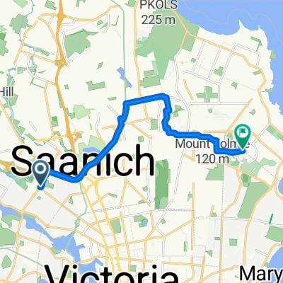
1488 Cook Street via Galloping Goose/TC Trail to Humpback Resevoir parking lot (trail head to Waugh Creek Falls and suspension bridge, and Mount Wells)
created this 5 years ago
Route quality
Cycleway
17.3 km
(76 %)
Road
2 km
(9 %)
Paved
17.7 km
(78 %)
Unpaved
3.4 km
(15 %)
Asphalt
16.1 km
(71 %)
Gravel
3.4 km
(15 %)
Continue with Bikemap
You would like to ride 1488 to Humpback Resevoir or customize it for your own trip? Here is what you can do with this Bikemap route:
Free trial for 3 days, or one-time payment. More about Bikemap Premium.
Discover more Premium features.
Get Bikemap PremiumFrom our community
Open it in the app