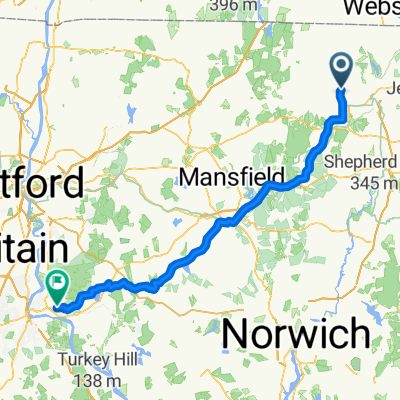
East Quasset Road 255, Woodstock to East Quasset Road 255, Woodstock
A cycling route starting in South Woodstock, Connecticut, United States.
Overview
About this route
- 2 h 23 min
- Duration
- 28 km
- Distance
- 179 m
- Ascent
- 119 m
- Descent
- 11.7 km/h
- Avg. speed
- ---
- Max. altitude
Route photos
Continue with Bikemap
Use, edit, or download this cycling route
You would like to ride East Quasset Road 255, Woodstock to East Quasset Road 255, Woodstock or customize it for your own trip? Here is what you can do with this Bikemap route:
Free features
- Save this route as favorite or in collections
- Copy & plan your own version of this route
- Sync your route with Garmin or Wahoo
Premium features
Free trial for 3 days, or one-time payment. More about Bikemap Premium.
- Navigate this route on iOS & Android
- Export a GPX / KML file of this route
- Create your custom printout (try it for free)
- Download this route for offline navigation
Discover more Premium features.
Get Bikemap PremiumFrom our community
Other popular routes starting in South Woodstock
- East Quasset Road 255, Woodstock to East Quasset Road 255, Woodstock
- Distance
- 28 km
- Ascent
- 179 m
- Descent
- 119 m
- Location
- South Woodstock, Connecticut, United States
- East Quasset Road 249, Woodstock to Woodstock Avenue 201, Putnam
- Distance
- 8.4 km
- Ascent
- 91 m
- Descent
- 181 m
- Location
- South Woodstock, Connecticut, United States
- 33 Lake Dr, Eastford to E Lake Rd, Woodstock Valley
- Distance
- 27.8 km
- Ascent
- 671 m
- Descent
- 664 m
- Location
- South Woodstock, Connecticut, United States
- Lake Quasset, Woodstock, CT
- Distance
- 8.1 km
- Ascent
- 115 m
- Descent
- 91 m
- Location
- South Woodstock, Connecticut, United States
- Lake Quasset Reverse, Woodstock, CT
- Distance
- 7.4 km
- Ascent
- 104 m
- Descent
- 101 m
- Location
- South Woodstock, Connecticut, United States
- Relaxed route in
- Distance
- 20.3 km
- Ascent
- 244 m
- Descent
- 244 m
- Location
- South Woodstock, Connecticut, United States
- Recovered Route
- Distance
- 163 km
- Ascent
- 968 m
- Descent
- 1,131 m
- Location
- South Woodstock, Connecticut, United States
- 281 Old Colony Rd, Pomfret Center to 232–264 Eastford Rd, Eastford
- Distance
- 1.6 km
- Ascent
- 23 m
- Descent
- 36 m
- Location
- South Woodstock, Connecticut, United States
Open it in the app