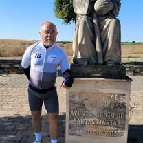
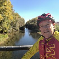
36 km. descubrir nuevos senderos
- 36.1 km
- 423 m
- 480 m
- San Andrés del Rabanedo, Castille and León, Spain
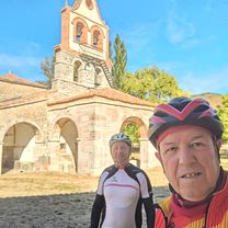
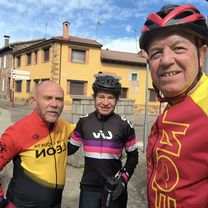
A cycling route starting in San Andrés del Rabanedo, Castille and León, Spain.
Overview
created this 15 years ago
Route quality
Quiet road
13.4 km
(15 %)
Track
7.1 km
(8 %)
Paved
67.8 km
(76 %)
Unpaved
3.6 km
(4 %)
Asphalt
67.8 km
(76 %)
Gravel
2.7 km
(3 %)
Route highlights
Continue with Bikemap
You would like to ride León- Lorenzana-La Magdalena- La Robla- Robles da la Valcueva- Torío- Navatejera- León or customize it for your own trip? Here is what you can do with this Bikemap route:
Free trial for 3 days, or one-time payment. More about Bikemap Premium.
Discover more Premium features.
Get Bikemap PremiumFrom our community
Open it in the app