

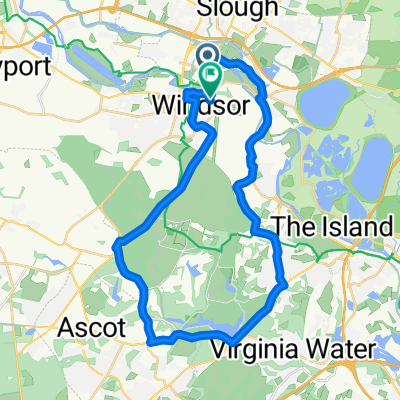
windor woods
A cycling route starting in Eton, England, United Kingdom.
Overview
About this route
- -:--
- Duration
- 25.4 km
- Distance
- 176 m
- Ascent
- 175 m
- Descent
- ---
- Avg. speed
- ---
- Max. altitude

Continue with Bikemap
Use, edit, or download this cycling route
You would like to ride windor woods or customize it for your own trip? Here is what you can do with this Bikemap route:
Free features
- Save this route as favorite or in collections
- Copy & plan your own version of this route
- Sync your route with Garmin or Wahoo
Premium features
Free trial for 3 days, or one-time payment. More about Bikemap Premium.
- Navigate this route on iOS & Android
- Export a GPX / KML file of this route
- Create your custom printout (try it for free)
- Download this route for offline navigation
Discover more Premium features.
Get Bikemap PremiumFrom our community
Other popular routes starting in Eton
 Henley Marlow route
- Distance
- 65.5 km
- Ascent
- 254 m
- Descent
- 254 m
- Location
- Eton, England, United Kingdom
 Twice Across the Thames
- Distance
- 22 km
- Ascent
- 13 m
- Descent
- 14 m
- Location
- Eton, England, United Kingdom
 Family Ride from The Swan Pub
- Distance
- 13.8 km
- Ascent
- 8 m
- Descent
- 8 m
- Location
- Eton, England, United Kingdom
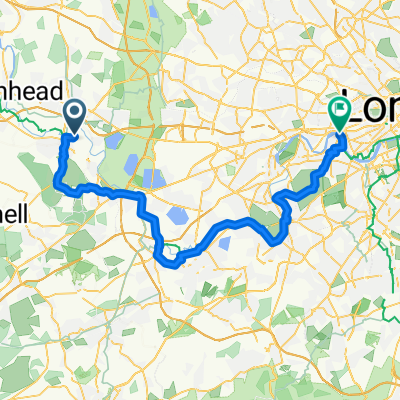 London to Windsor
- Distance
- 55 km
- Ascent
- 124 m
- Descent
- 143 m
- Location
- Eton, England, United Kingdom
 windor woods
- Distance
- 25.4 km
- Ascent
- 176 m
- Descent
- 175 m
- Location
- Eton, England, United Kingdom
 NCR4 Windsor to Greenwich
- Distance
- 69.3 km
- Ascent
- 135 m
- Descent
- 149 m
- Location
- Eton, England, United Kingdom
 Ride out from Dorney
- Distance
- 33.1 km
- Ascent
- 71 m
- Descent
- 71 m
- Location
- Eton, England, United Kingdom
 eton to windsor
- Distance
- 30.4 km
- Ascent
- 174 m
- Descent
- 171 m
- Location
- Eton, England, United Kingdom
Open it in the app