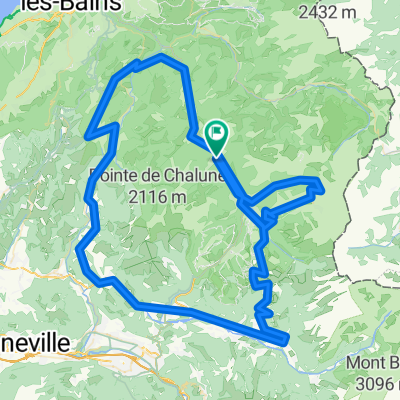
COL DE JOUX PLANE (por Morzine)
A cycling route starting in Morzine, Auvergne-Rh么ne-Alpes, France.
Overview
About this route
- -:--
- Duration
- 11.5 km
- Distance
- 764 m
- Ascent
- 38 m
- Descent
- ---
- Avg. speed
- ---
- Max. altitude
Route quality
Waytypes & surfaces along the route
Waytypes
Road
11.2 km
(97 %)
Undefined
0.3 km
(3 %)
Surfaces
Paved
11.2 km
(97 %)
Asphalt
11.2 km
(97 %)
Undefined
0.3 km
(3 %)
Continue with Bikemap
Use, edit, or download this cycling route
You would like to ride COL DE JOUX PLANE (por Morzine) or customize it for your own trip? Here is what you can do with this Bikemap route:
Free features
- Save this route as favorite or in collections
- Copy & plan your own version of this route
- Sync your route with Garmin or Wahoo
Premium features
Free trial for 3 days, or one-time payment. More about Bikemap Premium.
- Navigate this route on iOS & Android
- Export a GPX / KML file of this route
- Create your custom printout (try it for free)
- Download this route for offline navigation
Discover more Premium features.
Get Bikemap PremiumFrom our community
Other popular routes starting in Morzine
Tour du Roc d'Enfer- Distance
- 78.9 km
- Ascent
- 1,128 m
- Descent
- 1,121 m
- Location
- Morzine, Auvergne-Rh么ne-Alpes, France
Alps Three Peaks Challenge Col de Joux Verte, Col de Jeu Plane, Col de l'Encrenaz- Distance
- 76 km
- Ascent
- 2,340 m
- Descent
- 2,347 m
- Location
- Morzine, Auvergne-Rh么ne-Alpes, France
Joux Verte-Joux Plane-Ramaz-Encrenaz- Distance
- 106.8 km
- Ascent
- 3,605 m
- Descent
- 3,602 m
- Location
- Morzine, Auvergne-Rh么ne-Alpes, France
Tour of Le Roc d'Enfer Alps Challenge Route- Distance
- 109.8 km
- Ascent
- 1,883 m
- Descent
- 1,883 m
- Location
- Morzine, Auvergne-Rh么ne-Alpes, France
Morzine - Col de la Ramaz - Col de la Colombi猫re- Distance
- 133.7 km
- Ascent
- 2,660 m
- Descent
- 2,654 m
- Location
- Morzine, Auvergne-Rh么ne-Alpes, France
Tour d'Enfer : Day 1 - Morzine to La Clusaz- Distance
- 75.7 km
- Ascent
- 1,814 m
- Descent
- 1,629 m
- Location
- Morzine, Auvergne-Rh么ne-Alpes, France
Day 1- Distance
- 137.6 km
- Ascent
- 3,476 m
- Descent
- 3,461 m
- Location
- Morzine, Auvergne-Rh么ne-Alpes, France
Morzine - Col de la Joux Verte- Distance
- 30.3 km
- Ascent
- 861 m
- Descent
- 861 m
- Location
- Morzine, Auvergne-Rh么ne-Alpes, France
Open it in the app


