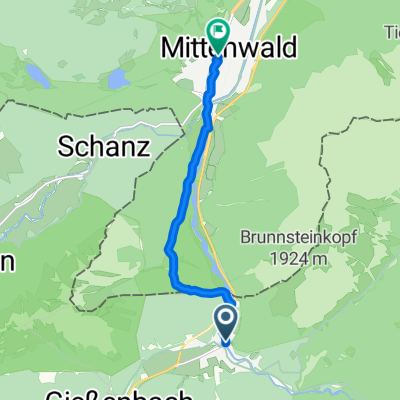
ISARRADWEG: Anreise (Scharnitz-Gießenbach)
- 3.8 km
- 62 m
- 20 m
- Scharnitz, Tyrol, Austria
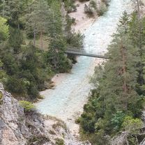
A cycling route starting in Scharnitz, Tyrol, Austria.
Overview
The tour begins and ends in Gießenbach at the paid parking lot in front of the ÖBB tracks. After crossing the railway tracks, the path steeply ascends in the southeast direction until a fork: to the right, it leads down to Eppzirleralm, but we follow the path ± straight ahead to Oberbrunnalm, an intermediate stop where one can take a break. From there, we continue in the northeast direction until we reach the path that diverges to the right in the southeast direction to Möslalm. The Möslalm is the actual goal of this tour! We return on the same path we came. However, we do not turn left to Oberbrunnalm but continue straight ahead to the north and cross the Isar. After that, we arrive at the 'Gleirschhöhe' where we meet the Karwendelweg, which we follow to Scharnitz. At the parish church of Mariahilf, we cross the federal road and follow the 'Hirlanda-Ellmann-Weg' towards the football field until we eventually return to the starting point in Gießenbach.
created this 5 years ago
Continue with Bikemap
You would like to ride Oberbrunnalm / Möslalm or customize it for your own trip? Here is what you can do with this Bikemap route:
Free trial for 3 days, or one-time payment. More about Bikemap Premium.
Discover more Premium features.
Get Bikemap PremiumFrom our community
Open it in the app