

Col de le Colombiere
- 82.7 km
- 2,275 m
- 2,275 m
- Les Gets, Auvergne-Rhône-Alpes, France
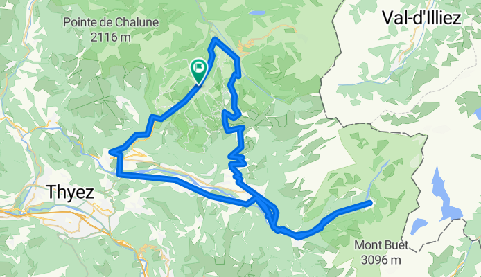
A cycling route starting in Les Gets, Auvergne-Rhône-Alpes, France.
Overview
Climb to Joux Plane from Morzine, then head towards the Sixt Fer à Cheval waterfall.
created this 5 years ago
Route quality
Road
44.4 km
(52 %)
Quiet road
11.1 km
(13 %)
Paved
74.3 km
(87 %)
Unpaved
3.4 km
(4 %)
Asphalt
73.5 km
(86 %)
Gravel
3.4 km
(4 %)
Continue with Bikemap
You would like to ride Joux Plane et Sixt Fer à Cheval or customize it for your own trip? Here is what you can do with this Bikemap route:
Free trial for 3 days, or one-time payment. More about Bikemap Premium.
Discover more Premium features.
Get Bikemap PremiumFrom our community
Open it in the app


