
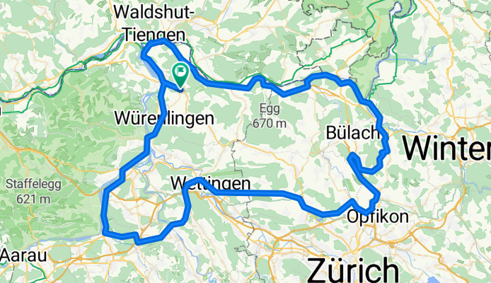
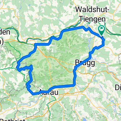
125km Loop Around Airport
A cycling route starting in Tegerfelden, Canton of Aargau, Switzerland.
Overview
About this route
- -:--
- Duration
- 129.1 km
- Distance
- 597 m
- Ascent
- 599 m
- Descent
- ---
- Avg. speed
- ---
- Max. altitude

Route quality
Waytypes & surfaces along the route
Waytypes
Quiet road
47.8 km
(37 %)
Path
20.7 km
(16 %)
Surfaces
Paved
112.3 km
(87 %)
Unpaved
3.9 km
(3 %)
Asphalt
111 km
(86 %)
Gravel
3.9 km
(3 %)
Continue with Bikemap
Use, edit, or download this cycling route
You would like to ride 125km Loop Around Airport or customize it for your own trip? Here is what you can do with this Bikemap route:
Free features
- Save this route as favorite or in collections
- Copy & plan your own version of this route
- Split it into stages to create a multi-day tour
- Sync your route with Garmin or Wahoo
Premium features
Free trial for 3 days, or one-time payment. More about Bikemap Premium.
- Navigate this route on iOS & Android
- Export a GPX / KML file of this route
- Create your custom printout (try it for free)
- Download this route for offline navigation
Discover more Premium features.
Get Bikemap PremiumFrom our community
Other popular routes starting in Tegerfelden
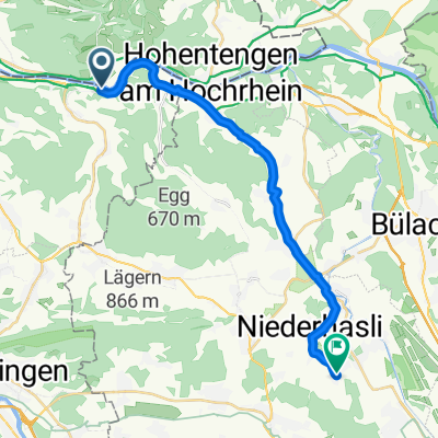
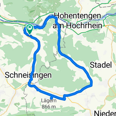 Bachsertoure
- Distance
- 29.5 km
- Ascent
- 342 m
- Descent
- 338 m
- Location
- Tegerfelden, Canton of Aargau, Switzerland
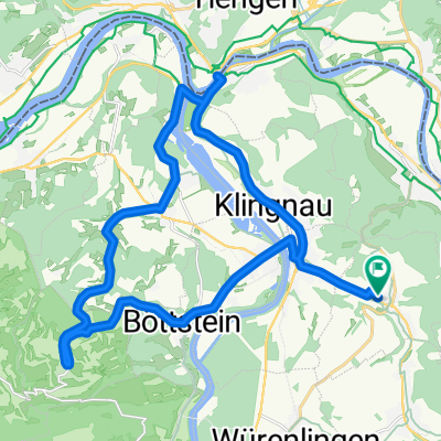 Slow Ride - Sunday 5 Jan 13
- Distance
- 28.1 km
- Ascent
- 276 m
- Descent
- 276 m
- Location
- Tegerfelden, Canton of Aargau, Switzerland
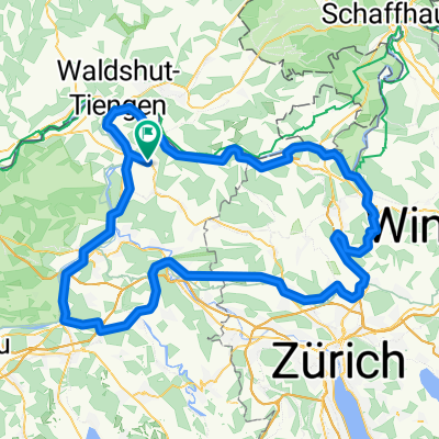
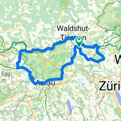 Rohr - Buus - Stein - Bachs
- Distance
- 148.7 km
- Ascent
- 895 m
- Descent
- 895 m
- Location
- Tegerfelden, Canton of Aargau, Switzerland
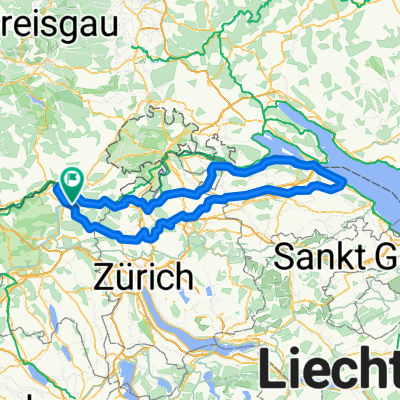 200km Konstanz
- Distance
- 213.7 km
- Ascent
- 665 m
- Descent
- 667 m
- Location
- Tegerfelden, Canton of Aargau, Switzerland
 125km Loop Around Airport
- Distance
- 129.1 km
- Ascent
- 597 m
- Descent
- 599 m
- Location
- Tegerfelden, Canton of Aargau, Switzerland
 ÄÃÿ÷? nach ÄÃÿ÷?
- Distance
- 22.2 km
- Ascent
- 254 m
- Descent
- 157 m
- Location
- Tegerfelden, Canton of Aargau, Switzerland
 Pratteln - Liestal
- Distance
- 176.1 km
- Ascent
- 1,245 m
- Descent
- 1,245 m
- Location
- Tegerfelden, Canton of Aargau, Switzerland
 Schafmatt - Wittnau - Eieken
- Distance
- 104.1 km
- Ascent
- 1,144 m
- Descent
- 1,117 m
- Location
- Tegerfelden, Canton of Aargau, Switzerland
Open it in the app