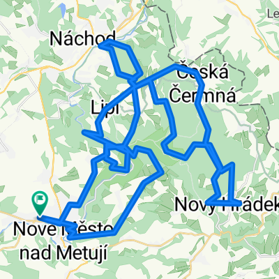
Peklo
- 25.4 km
- 232 m
- 227 m
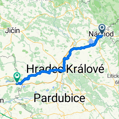
- Náchod, Královéhradecký kraj, Czechia
A cycling route starting in Náchod, Královéhradecký kraj, Czechia.
Overview
The more information you write here, the more useful it will be for other users.
created this 15 years ago
Continue with Bikemap
You would like to ride kolem Orlickýh hor or customize it for your own trip? Here is what you can do with this Bikemap route:
Free trial for 3 days, or one-time payment. More about Bikemap Premium.
Discover more Premium features.
Get Bikemap PremiumFrom our community
Open it in the app