

Sierakowice (Smażalnia ryb)
A cycling route starting in Gliwice, Silesian Voivodeship, Poland.
Overview
About this route
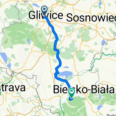
Gliwice=>Wójtowa Wieś=>Łany Wielkie=>Rachowice=>
Sierakowice=>Sośnicowice=>Smolnica
=>Wilcze Gardło=>Gliwice
- -:--
- Duration
- 44.8 km
- Distance
- 174 m
- Ascent
- 183 m
- Descent
- ---
- Avg. speed
- ---
- Max. altitude

Route quality
Waytypes & surfaces along the route
Waytypes
Track
14.8 km
(33 %)
Road
14.3 km
(32 %)
Surfaces
Paved
25.1 km
(56 %)
Unpaved
13.4 km
(30 %)
Asphalt
24.6 km
(55 %)
Gravel
10.3 km
(23 %)
Route highlights
Points of interest along the route
Point of interest after 22.8 km
Smażalnia Ryb. Andrzej Dylla Wiejska 7, 44-156 Sierakowice Telefon: (32) 238-45-77
Continue with Bikemap
Use, edit, or download this cycling route
You would like to ride Sierakowice (Smażalnia ryb) or customize it for your own trip? Here is what you can do with this Bikemap route:
Free features
- Save this route as favorite or in collections
- Copy & plan your own version of this route
- Sync your route with Garmin or Wahoo
Premium features
Free trial for 3 days, or one-time payment. More about Bikemap Premium.
- Navigate this route on iOS & Android
- Export a GPX / KML file of this route
- Create your custom printout (try it for free)
- Download this route for offline navigation
Discover more Premium features.
Get Bikemap PremiumFrom our community
Other popular routes starting in Gliwice
 Druga inspekcja z wiceprezydentem
- Distance
- 16.6 km
- Ascent
- 90 m
- Descent
- 87 m
- Location
- Gliwice, Silesian Voivodeship, Poland
 Pszczyńska, Gliwice do Pszczyńska, Gliwice
- Distance
- 38.7 km
- Ascent
- 226 m
- Descent
- 247 m
- Location
- Gliwice, Silesian Voivodeship, Poland
 Gliwice - Racibórz
- Distance
- 50.4 km
- Ascent
- 133 m
- Descent
- 187 m
- Location
- Gliwice, Silesian Voivodeship, Poland
 Cel001
- Distance
- 78.2 km
- Ascent
- 765 m
- Descent
- 332 m
- Location
- Gliwice, Silesian Voivodeship, Poland
 PTL Bojków Żernica
- Distance
- 22.4 km
- Ascent
- 87 m
- Descent
- 93 m
- Location
- Gliwice, Silesian Voivodeship, Poland
 115. GMK "Kwiatowa Masa Krytyczna"
- Distance
- 16.8 km
- Ascent
- 55 m
- Descent
- 53 m
- Location
- Gliwice, Silesian Voivodeship, Poland
 wokół Dzierżna
- Distance
- 34.1 km
- Ascent
- 110 m
- Descent
- 110 m
- Location
- Gliwice, Silesian Voivodeship, Poland
 Pszczyńska 116D, Gliwice do Pszczyńska 118C, Gliwice
- Distance
- 71.4 km
- Ascent
- 809 m
- Descent
- 832 m
- Location
- Gliwice, Silesian Voivodeship, Poland
Open it in the app