ludran
- 32.6 km
- 744 m
- 740 m
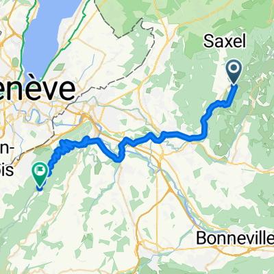
- Boëge, Auvergne-Rhône-Alpes, France
A cycling route starting in Boëge, Auvergne-Rhône-Alpes, France.
Overview
created this 15 years ago
Route quality
Road
28.7 km
(56 %)
Quiet road
12.3 km
(24 %)
Paved
31.2 km
(61 %)
Unpaved
0.5 km
(1 %)
Asphalt
31.2 km
(61 %)
Unpaved (undefined)
0.5 km
(1 %)
Undefined
19.5 km
(38 %)
Continue with Bikemap
You would like to ride Augustus-Col de Saxel - Col de Cou - Col des Arces - Col du Feu - Col de Terramont or customize it for your own trip? Here is what you can do with this Bikemap route:
Free trial for 3 days, or one-time payment. More about Bikemap Premium.
Discover more Premium features.
Get Bikemap PremiumFrom our community
Open it in the app