KIN-22L Spring 2020
2020-04-25 Bike Ride
A cycling route starting in Santa Cruz, California, United States.
Overview
About this route
The weather is beautiful and so many people were out and about. We might not be social distancing as well as we should be. But most people were wearing masks.
- -:--
- Duration
- 14.7 km
- Distance
- 55 m
- Ascent
- 57 m
- Descent
- ---
- Avg. speed
- ---
- Max. altitude
Part of
17 stages
Route quality
Waytypes & surfaces along the route
Waytypes
Cycleway
7.8 km
(53 %)
Road
3.8 km
(26 %)
Surfaces
Paved
13.4 km
(91 %)
Asphalt
12.2 km
(83 %)
Paved (undefined)
0.9 km
(6 %)
Route highlights
Points of interest along the route

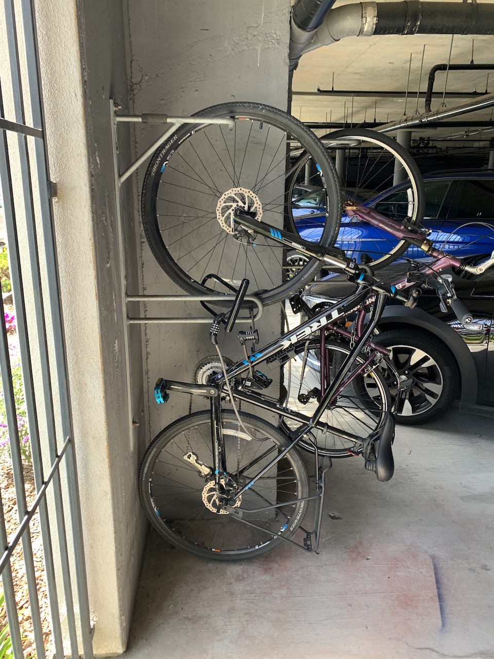
Photo after 0 km
Beginning

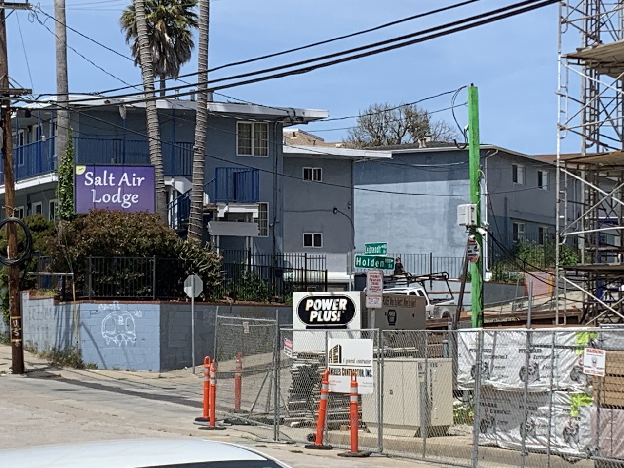
Photo after 0 km
I heard this hotel was going to be a Marriott. I hope so. You can see the construction on the right.

Photo after 1.1 km
I could go for a nice ride if I turned right but I'm going left.

Photo after 3.5 km
That Mexican place is pretty decent. I ate there once. But be advised...I'm from Boston so what do I know?

Photo after 4 km
Went to a fun Japanese festival at the park here once.

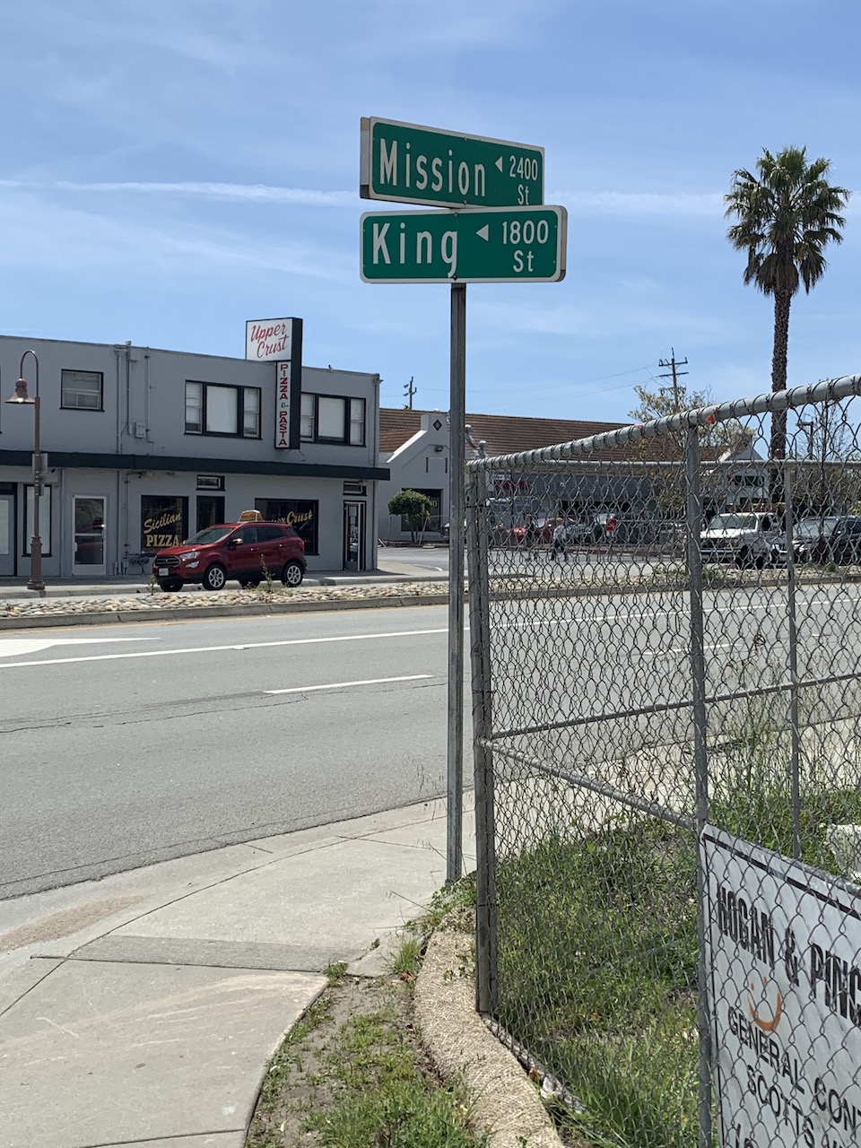
Photo after 4.6 km
I didn't want to be on the main street because there was a lot of traffic so I went down King Street admiring the nice houses.

Photo after 6.6 km
King Street came out close to where I hoped it would come out.

Photo after 7.1 km
Just a landmark to show my progress.

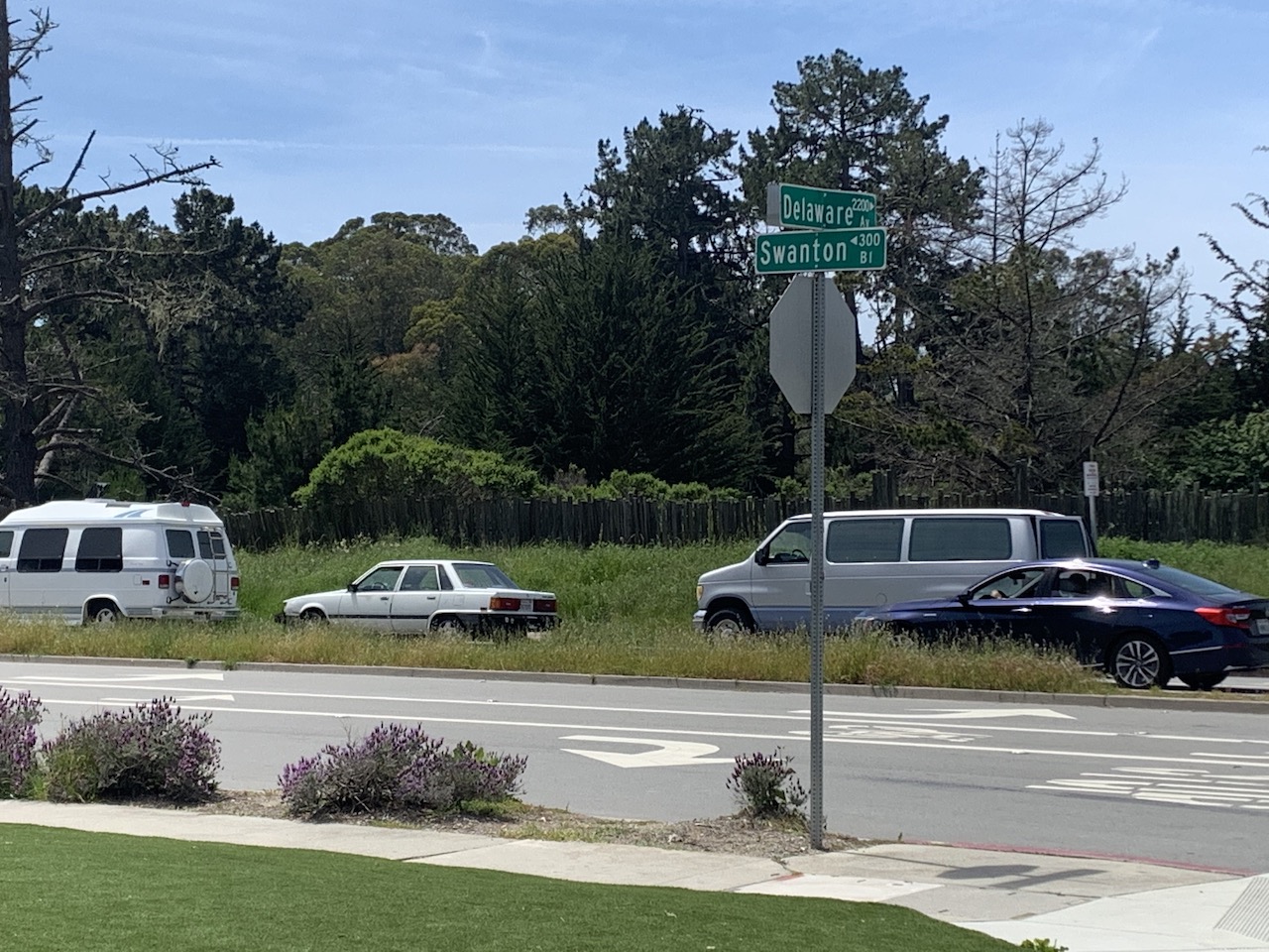
Photo after 7.8 km
Delaware to Swanton. Heading for West Cliff and the sceneic ride.

Photo after 8.4 km
Natural Bridges Beach. More people out there than I expected but I can't blame them. It is a beautiful day!

Photo after 11.7 km
Steamers Lane looking at the wharf.

Photo after 13.9 km
Park Place. An interesting name for a street right next to a big parking lot.

Photo after 14.5 km
Back to Riverside.

Photo after 14.7 km
Home Base

Photo after 14.7 km
Ride Complete.
Continue with Bikemap
Use, edit, or download this cycling route
You would like to ride 2020-04-25 Bike Ride or customize it for your own trip? Here is what you can do with this Bikemap route:
Free features
- Save this route as favorite or in collections
- Copy & plan your own version of this route
- Sync your route with Garmin or Wahoo
Premium features
Free trial for 3 days, or one-time payment. More about Bikemap Premium.
- Navigate this route on iOS & Android
- Export a GPX / KML file of this route
- Create your custom printout (try it for free)
- Download this route for offline navigation
Discover more Premium features.
Get Bikemap PremiumFrom our community
Other popular routes starting in Santa Cruz
 2020-05-10 Bike Ride
- Distance
- 15 km
- Ascent
- 52 m
- Descent
- 49 m
- Location
- Santa Cruz, California, United States
 2020-04-24 Bike Ride (In Reverse)
- Distance
- 14.5 km
- Ascent
- 32 m
- Descent
- 31 m
- Location
- Santa Cruz, California, United States
 High St, Santa Cruz to Clear Creek Rd, Brookdale
- Distance
- 20.2 km
- Ascent
- 316 m
- Descent
- 150 m
- Location
- Santa Cruz, California, United States
 2020-04-11 Bike Route 3
- Distance
- 13.9 km
- Ascent
- 45 m
- Descent
- 47 m
- Location
- Santa Cruz, California, United States
 Branciforte-Scotts Valley-Felton Empire loop
- Distance
- 40.4 km
- Ascent
- 905 m
- Descent
- 877 m
- Location
- Santa Cruz, California, United States
 2020-05-02 (Extended Route)
- Distance
- 17 km
- Ascent
- 98 m
- Descent
- 98 m
- Location
- Santa Cruz, California, United States
 2020-05-14 Bike Ride
- Distance
- 16.4 km
- Ascent
- 85 m
- Descent
- 83 m
- Location
- Santa Cruz, California, United States
 Branciforte-Old San Jose Rd.-East Cliff Drive
- Distance
- 40.6 km
- Ascent
- 328 m
- Descent
- 328 m
- Location
- Santa Cruz, California, United States
Open it in the app


