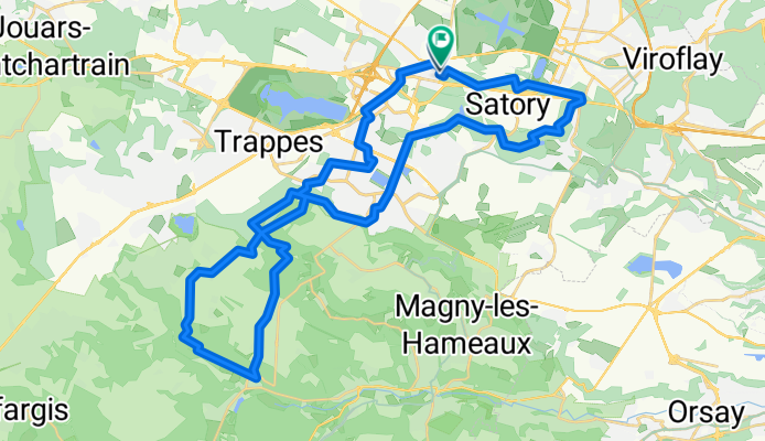
46km_VTT_Confine

A cycling route starting in Saint-Cyr-l'École, Île-de-France Region, France.
OverviewAbout this route
-:--
Duration
47.3 km
Distance
260 m
Ascent
260 m
Descent
---
Avg. speed
---
Max. altitude
pampacreated this 5 years ago
Route qualityWaytypes & surfaces along the route
Waytypes
  • Track

    26.5 km56 %
  • Path

    9 km19 %
  • Quiet road

    4.3 km9 %
Surfaces

Paved

14.2 km(30 %)

Unpaved

26 km(55 %)
  • Asphalt

    14.2 km30 %
  • Ground

    11.3 km24 %
  • Gravel

    8.5 km18 %
Continue with BikemapUse, edit, or download this cycling route
You would like to ride 46km_VTT_Confine or customize it for your own trip? Here is what you can do with this Bikemap route:
Free features
Premium features

Free trial for 3 days, or one-time payment. More about Bikemap Premium.

  • Navigate this route on iOS & Android
  • Export a GPX / KML file of this route
  • Create your custom printout (try it for free)
  • Download this route for offline navigation

Discover more Premium features.

Get Bikemap Premium
From our communityOther popular routes starting in Saint-Cyr-l'École

Open it in the app