Wegberg Garzweiler Tagebau
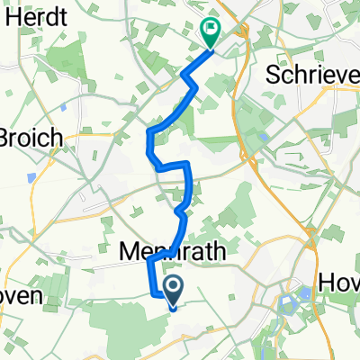
A cycling route starting in Wegberg, North Rhine-Westphalia, Germany.
Overview
About this route
- 1 h 10 min
- Duration
- 21.1 km
- Distance
- 76 m
- Ascent
- 36 m
- Descent
- 18.1 km/h
- Avg. speed
- ---
- Avg. speed
Route photos
Route quality
Waytypes & surfaces along the route
Waytypes
Undefined
21.1 km
(100 %)
Surfaces
Undefined
21.1 km
(100 %)
Continue with Bikemap
Use, edit, or download this cycling route
You would like to ride Wegberg Garzweiler Tagebau or customize it for your own trip? Here is what you can do with this Bikemap route:
Free features
- Save this route as favorite or in collections
- Copy & plan your own version of this route
- Sync your route with Garmin or Wahoo
Premium features
Free trial for 3 days, or one-time payment. More about Bikemap Premium.
- Navigate this route on iOS & Android
- Export a GPX / KML file of this route
- Create your custom printout (try it for free)
- Download this route for offline navigation
Discover more Premium features.
Get Bikemap PremiumFrom our community
Other popular routes starting in Wegberg
- NR914: Wegberger Mühlentour
- Distance
- 43 km
- Ascent
- 180 m
- Descent
- 178 m
- Location
- Wegberg, North Rhine-Westphalia, Germany
- RTF Rheindahlen Zweiländerfahrt 72,7km
- Distance
- 72.6 km
- Ascent
- 159 m
- Descent
- 152 m
- Location
- Wegberg, North Rhine-Westphalia, Germany
- Dag 4 onsdag 4.7.18
- Distance
- 222.9 km
- Ascent
- 520 m
- Descent
- 478 m
- Location
- Wegberg, North Rhine-Westphalia, Germany
- 50plus Route 2018
- Distance
- 37.1 km
- Ascent
- 109 m
- Descent
- 109 m
- Location
- Wegberg, North Rhine-Westphalia, Germany
- Mühlenroute CLONED FROM ROUTE 353682
- Distance
- 36.1 km
- Ascent
- 83 m
- Descent
- 82 m
- Location
- Wegberg, North Rhine-Westphalia, Germany
- Mühlentur
- Distance
- 16.9 km
- Ascent
- 357 m
- Descent
- 320 m
- Location
- Wegberg, North Rhine-Westphalia, Germany
- Moorshoven - Brachter Wald
- Distance
- 68.5 km
- Ascent
- 309 m
- Descent
- 310 m
- Location
- Wegberg, North Rhine-Westphalia, Germany
- Schwalm-Nette Maas Radtour
- Distance
- 62.6 km
- Ascent
- 74 m
- Descent
- 116 m
- Location
- Wegberg, North Rhine-Westphalia, Germany