
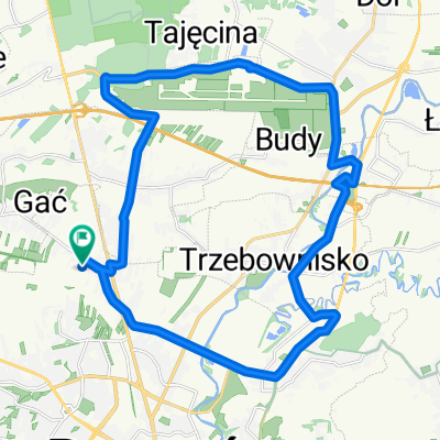
Miłocin - Zabajka - Tajęcina
A cycling route starting in Rudna Wielka, Subcarpathian Voivodeship, Poland.
Overview
About this route
- 1 h 59 min
- Duration
- 32 km
- Distance
- 86 m
- Ascent
- 99 m
- Descent
- 16.2 km/h
- Avg. speed
- ---
- Max. altitude

Route quality
Waytypes & surfaces along the route
Waytypes
Road
13.4 km
(42 %)
Quiet road
10.9 km
(34 %)
Surfaces
Paved
26.9 km
(84 %)
Unpaved
1.3 km
(4 %)
Asphalt
25.3 km
(79 %)
Paved (undefined)
1.6 km
(5 %)
Continue with Bikemap
Use, edit, or download this cycling route
You would like to ride Miłocin - Zabajka - Tajęcina or customize it for your own trip? Here is what you can do with this Bikemap route:
Free features
- Save this route as favorite or in collections
- Copy & plan your own version of this route
- Sync your route with Garmin or Wahoo
Premium features
Free trial for 3 days, or one-time payment. More about Bikemap Premium.
- Navigate this route on iOS & Android
- Export a GPX / KML file of this route
- Create your custom printout (try it for free)
- Download this route for offline navigation
Discover more Premium features.
Get Bikemap PremiumFrom our community
Other popular routes starting in Rudna Wielka
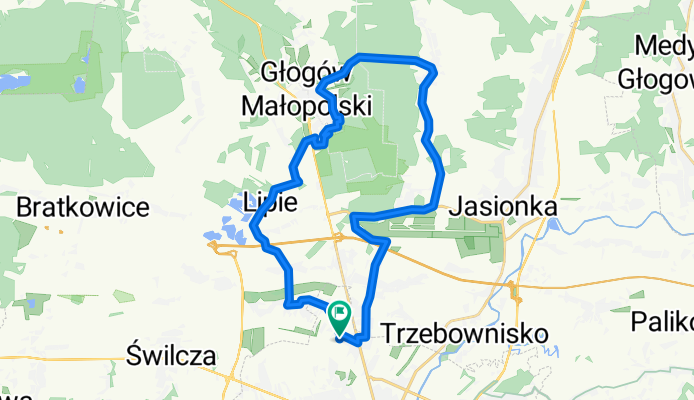
 Miłocin Kamyszyn Zabajka Trzebownisko
- Distance
- 42.8 km
- Ascent
- 44 m
- Descent
- 64 m
- Location
- Rudna Wielka, Subcarpathian Voivodeship, Poland
 Miłocin - Zabajka - Tajęcina
- Distance
- 32 km
- Ascent
- 86 m
- Descent
- 99 m
- Location
- Rudna Wielka, Subcarpathian Voivodeship, Poland
 Miłocin-Trzebownisko-Lipie
- Distance
- 44.3 km
- Ascent
- 92 m
- Descent
- 86 m
- Location
- Rudna Wielka, Subcarpathian Voivodeship, Poland
 asfaltowo iwierzyce
- Distance
- 55.1 km
- Ascent
- 165 m
- Descent
- 164 m
- Location
- Rudna Wielka, Subcarpathian Voivodeship, Poland
 mogielnica
- Distance
- 52.9 km
- Ascent
- 386 m
- Descent
- 386 m
- Location
- Rudna Wielka, Subcarpathian Voivodeship, Poland
 Miłocin - Załęże - Jasionka
- Distance
- 26.2 km
- Ascent
- 105 m
- Descent
- 104 m
- Location
- Rudna Wielka, Subcarpathian Voivodeship, Poland
 Waniliowa 22, Rzeszów do Kolbuszowa
- Distance
- 18.2 km
- Ascent
- 43 m
- Descent
- 32 m
- Location
- Rudna Wielka, Subcarpathian Voivodeship, Poland
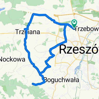
 Miłocin - Senatorska - Boguchwała
- Distance
- 32.9 km
- Ascent
- 120 m
- Descent
- 118 m
- Location
- Rudna Wielka, Subcarpathian Voivodeship, Poland
Open it in the app