
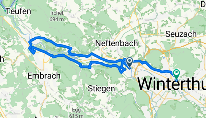
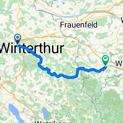
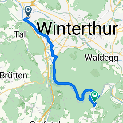
Hardgutstrasse 50D–54A, Winterthur to Sulzbergstrasse 5, Winterthur
A cycling route starting in Wülflingen (Kreis 6), Canton of Zurich, Switzerland.
Overview
About this route
- 1 h 14 min
- Duration
- 26.3 km
- Distance
- 319 m
- Ascent
- 288 m
- Descent
- 21.2 km/h
- Avg. speed
- ---
- Max. altitude
Route quality
Waytypes & surfaces along the route
Waytypes
Quiet road
9.7 km
(37 %)
Track
8.7 km
(33 %)
Surfaces
Paved
18.4 km
(70 %)
Unpaved
6.6 km
(25 %)
Asphalt
17.1 km
(65 %)
Gravel
5.3 km
(20 %)
Continue with Bikemap
Use, edit, or download this cycling route
You would like to ride Hardgutstrasse 50D–54A, Winterthur to Sulzbergstrasse 5, Winterthur or customize it for your own trip? Here is what you can do with this Bikemap route:
Free features
- Save this route as favorite or in collections
- Copy & plan your own version of this route
- Sync your route with Garmin or Wahoo
Premium features
Free trial for 3 days, or one-time payment. More about Bikemap Premium.
- Navigate this route on iOS & Android
- Export a GPX / KML file of this route
- Create your custom printout (try it for free)
- Download this route for offline navigation
Discover more Premium features.
Get Bikemap PremiumFrom our community
Other popular routes starting in Wülflingen (Kreis 6)
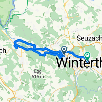
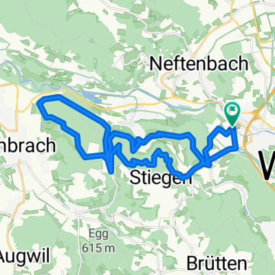 1,5-Stunden-Kleinod leicht ab Hardgutstrasse
- Distance
- 22.3 km
- Ascent
- 528 m
- Descent
- 527 m
- Location
- Wülflingen (Kreis 6), Canton of Zurich, Switzerland
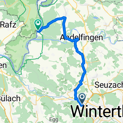 Schaffhausen
- Distance
- 21.2 km
- Ascent
- 97 m
- Descent
- 160 m
- Location
- Wülflingen (Kreis 6), Canton of Zurich, Switzerland
 Wülflingen - Pfungen 10km
- Distance
- 9.9 km
- Ascent
- 99 m
- Descent
- 99 m
- Location
- Wülflingen (Kreis 6), Canton of Zurich, Switzerland
 Wieshofstrasse 102, Winterthur nach Wieshofstrasse 106C, Winterthur
- Distance
- 18.9 km
- Ascent
- 205 m
- Descent
- 249 m
- Location
- Wülflingen (Kreis 6), Canton of Zurich, Switzerland
 Hardgutstrasse 50D–54A, Winterthur to Sulzbergstrasse 5, Winterthur
- Distance
- 26.3 km
- Ascent
- 319 m
- Descent
- 288 m
- Location
- Wülflingen (Kreis 6), Canton of Zurich, Switzerland
 Wässerwiesenstrasse 67C, Winterthur nach Schwalbenweg 28, Sirnach
- Distance
- 692.8 km
- Ascent
- 509 m
- Descent
- 386 m
- Location
- Wülflingen (Kreis 6), Canton of Zurich, Switzerland
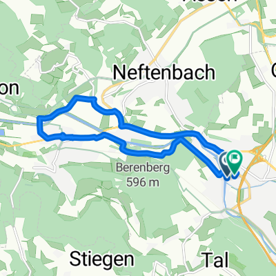
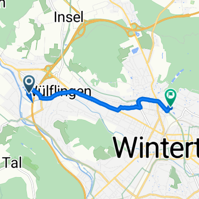 Wässerwiesenstrasse 67D, Winterthur nach Brauerstrasse 17, Winterthur
- Distance
- 4 km
- Ascent
- 99 m
- Descent
- 71 m
- Location
- Wülflingen (Kreis 6), Canton of Zurich, Switzerland
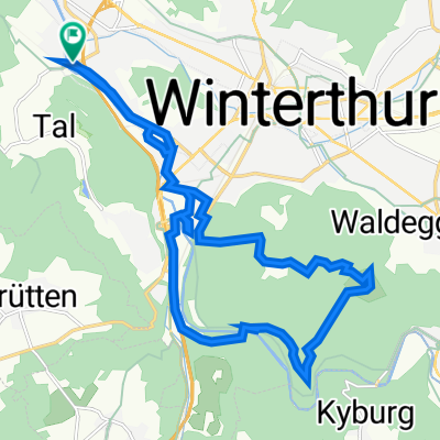
 Wieshofstrasse 80, Winterthur nach Dorfstrasse 13, Kyburg
- Distance
- 12.2 km
- Ascent
- 284 m
- Descent
- 28 m
- Location
- Wülflingen (Kreis 6), Canton of Zurich, Switzerland
Open it in the app